
What is recorded here
Indicated is an ecclesiastical enclosure in County Cork, Ireland, where a burial ground still occupies the north quadrant and a bullaun stone lies fifty-five metres outside the southern perimeter. The enclosing bank has become overgrown and inaccessible, pulling the place back into vegetation and silence. Its name, size and stones suggest an early religious site, though no building or dated event remains visible to confirm that possibility.
Shown on 1842 OS 6-inch map as irregular enclosure (c. 90m NE-SW; c. 60m NW-SE) with burial ground (CO069-022----) in N portion. Shown on 1904 and 1940 OS 6-inch maps as oval enclosure with burial ground in N quadrant. Enclosing bank now overgrown and inaccessible. Bullaun stone (CO069-053----) c. 55m outside S perimeter. Townland name, bullaun stone and size of enclosure suggest possible early ecclesiastical site.
The above description is derived from the published 'Archaeological Inventory of County Cork. Volume 3: Mid Cork' (Dublin: Stationery Office, 1997). In certain instances the entries have been revised and updated in the light of recent research.
Date of upload/revision: 14 January 2009
The monument record does not grant public access. Check the route and ask the landowner before entering private land.
- What survives
- Recorded monument
Places near here
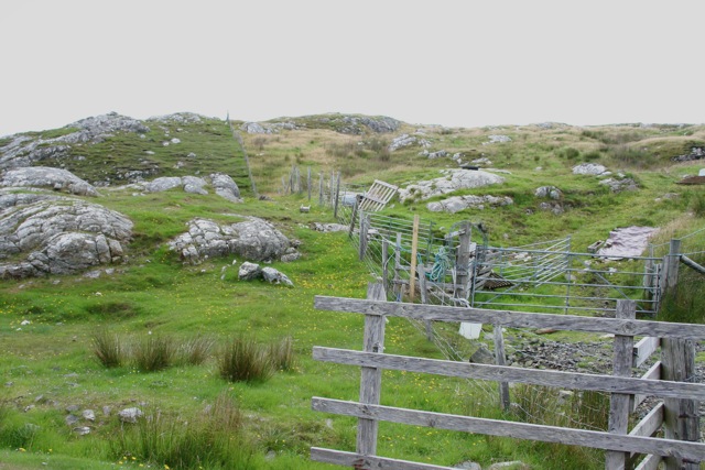 Enclosure in Cnoc SathairnEnclosure · 372 yd
 Holy WellsHoly well · 1570 yd
 Port Ban Nature Reserve, Irish Wildlife TrustNature reserve · 1.3 mi
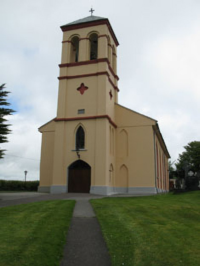 Séipéal Naomh Lachtáin [Saint Lachtáin's Catholic Church]church/chapel · 1.6 mi
 Water millWater mill, horizontal-wheeled · 1.8 mi
 European long distance path E8 - part IrelandWalking route · 2.5 mi
 CastleCastle, unclassified · 3.0 mi
 Castle (Site of)Castle, unclassified · 3.3 mi
 Kealaboane WoodWood · 3.3 mi
 Sli Gaeltacht MuscraiWalking route · 4.7 mi
 KnockullaneMountain / peak · 5.0 mi
 Cnoc na nUlánMountain / peak · 5.0 mi
Other information
Photo: Credit not shown in the picture search · Rights wording not checked; contact us if this picture should be removed