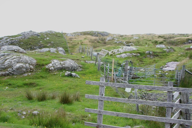
What is recorded here
Described by Colm Chambers as 'circular, 5 metres in diameter internally and 12 metres externally.
The floor of the enclosure is raised 50cm or more above the external ground level. The bank is of stone and some earth and its maximum height is 1.7 metres, to the NE. There does not appear to be an entrance. There is possibly the remains of an external fosse'.
The monument record does not grant public access. Check the route and ask the landowner before entering private land.
- What survives
- Recorded monument
Places near here
 IndicatedEcclesiastical enclosure · 372 yd
 Holy WellsHoly well · 1.1 mi
 Port Ban Nature Reserve, Irish Wildlife TrustNature reserve · 1.2 mi
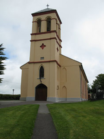 Séipéal Naomh Lachtáin [Saint Lachtáin's Catholic Church]church/chapel · 1.4 mi
 Water millWater mill, horizontal-wheeled · 2.0 mi
 European long distance path E8 - part IrelandWalking route · 2.7 mi
 Castle (Site of)Castle, unclassified · 3.1 mi
 CastleCastle, unclassified · 3.2 mi
 Kealaboane WoodWood · 3.5 mi
 Sli Gaeltacht MuscraiWalking route · 5.0 mi
 KnockullaneMountain / peak · 5.0 mi
 Kilmichael Ambush SiteMonument · 6.1 mi
Other information
Photo: Credit not shown in the picture search · Rights wording not checked; contact us if this picture should be removed