What is recorded here
Stand in the porch, behind the castle wall where the gunner aimed past the roof. The church is small, white and angular, with a graveyard at its feet and a gun emplacement remembered on the other side. Worship may have continued beside violence, but the building has withdrawn from that role. It keeps the shape of the old plan while releasing the life that filled it.
At the centre of a small graveyard (KD028-058004-). Depicted on an 1853 sketch of an original ‘Plan of the Castle of Ballyshannon [KD032-003002-], with its Outworks [KD032-003001-], in 1650’, as a roofed rectangular structure, lit by three windows in the N wall and one in the W gable wall, with a doorway near the W end of the N wall; and annotated, ‘The Church. On the other side stood our Mortter piece.’ (Fitzgerald 1899-1902, 447). The present church is recorded on the OS mapping as, ‘Church on Site of St. James’s Church’ and appears to be 19th-century in date. It is a heavily pebble-dashed, rectangular structure (c. 16m E-W; c. 10m N-S) with a tall porch at the W gable wall and a small sacristy attached at the NE angle. Lit by large opposed ‘Gothic-style’ windows in the N and S walls, it has a small bell cote on the W gable. A double-doorway has been inserted near the W end of the N wall, and the church is no longer used for religious purposes. It may stand on the site of an earlier, medieval church.
Compiled by: Gearóid Conroy
Date of upload: 21 May 2013
The monument record does not grant public access. Check the route and ask the landowner before entering private land.
- What survives
- Recorded monument
Places near here
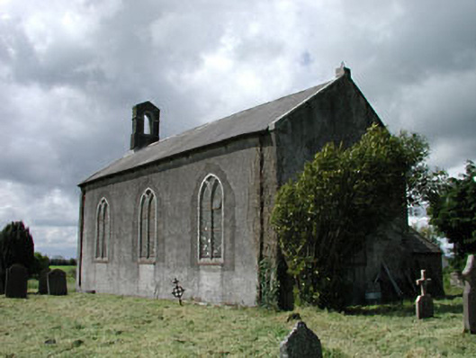 Saint James's Church (Ballyshannon)church/chapel · 1 yd
 IndicatedCastle, motte · 87 yd
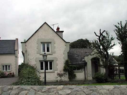 Calverstown Cottagehouse · 1.2 mi
 Enclosure in CalverstownEnclosure · 1.6 mi
 Castle in RuinsCastle, tower house · 1.7 mi
 Kilrush RathEnclosure · 2.0 mi
 Battle of Kilrushbattle · 2.3 mi
 HawthornHawthorn · 2.9 mi
 Narraghmore Nature ReserveForest · 3.0 mi
 Japanese GardensHeritage attraction · 5.1 mi
 Irish National Stud and Japanese GardensHeritage attraction · 5.1 mi
 Gorden Bennet Race memorialMemorial · 5.6 mi