What is recorded here
The ecclesiastical enclosure in Church Island (lough Owel) is in County Westmeath, Ireland. Situated on high ground at the southeast end of Church Island, seven metres west of the eastern shoreline at the southeast end of Lough Owel, the site lies 570 metres west of the shoreline in the townland of Ballynagall. The oval-shaped form of the graveyard boundary wall south of St. Loman's oratory possibly indicates the presence of an Early Christian ecclesiastical enclosure.
Situated on high ground at SE end of Church Island 7m W of the E shoreline at SE end of Lough Owel. Church Island lies 570m W of the shoreline with the townland of Ballynagall. The oval-shaped form of the graveyard (WM012-167001-) boundary wall S of St. Loman's oratory (WM012-067----) possibly indicates the presence of an Early Christian ecclesiastical enclosure (Swan 1988, 24). There are also indications of a low embankment of bank of earth & stone which may have acted as an enclosure around the perimeter of the island, but no definite facing stones or wall survive.
Compiled by: Caimin O’Brien
Date of upload: 13 October 2015
The monument record does not grant public access. Check the route and ask the landowner before entering private land.
- What survives
- Recorded monument
Places near here
 Abbey, Church IslandChurch · 17 yd
 Church IslandIsland · 37 yd
 Partially indicatedFairy fort / earthen ringfort · 831 yd
 Lady's IslandWood · 998 yd
 Partially hachuredFairy fort / ringfort · 1479 yd
 Srudarra IslandIslet · 1489 yd
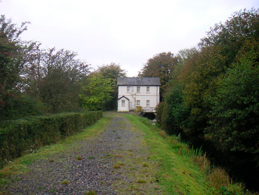 sluice/sluice gate, lock keeper's housesluice/sluice gate, lock keeper's house · 1553 yd
 Scragh Bog Nature ReserveNature reserve · 1640 yd
 TullaghanCastle, tower house · 1.2 mi
 Castle (in Ruins)Castle, tower house · 1.3 mi
 Saint Brigid's WellSpring · 1.5 mi
 United Nations War MemorialMemorial · 2.2 mi