What is recorded here
The OS Letters (1839) (O’Flanagan 1930, vol. 1, 72 (24)) refer to, ‘a small burying ground [KK005-060002-] and the foundation of a Church in the Townland of Strathleigh in this parish. The foundation or site is fifty four feet [16.46m] in length by eighteen feet [5.48m] in breadth, and it is called Cill Chormaic, Kill Cormac, by the peasantry’. According to Carrigan (1905, vol. 2, 85-6), ‘Kilcormaic was a parochial church down to the Reformation, when its parish became merged in Donnoughmore’. As with the OS Letters he states that only the foundations of this oblong building remain, the dimensions of which he gives as, ‘57ft. [17.37m] long and 24 ft. [7.3m] wide, the walls being 2½ft. [0.76m] thick’ (ibid.). Though not marked on any edition of the OS 6-inch or 25-inch maps, the church and graveyard were located during a Sites and Monuments Record Office fieldwork in 1987.
Compiled by: Jean Farrelly
Date of upload: 22 May 2017
The monument record does not grant public access. Check the route and ask the landowner before entering private land.
- What survives
- Recorded monument
Places near here
 Graveyard in SraleaghGraveyard · 6 yd
 Enclosure in GarrannaguillyEnclosure · 266 yd
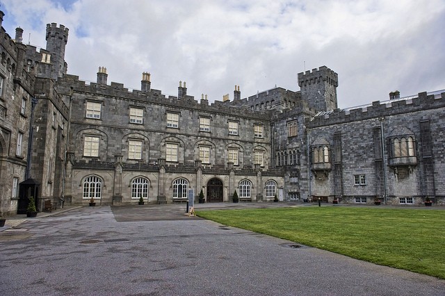 Enclosure in SraleaghEnclosure · 323 yd
 Church in FinnanChurch · 1235 yd
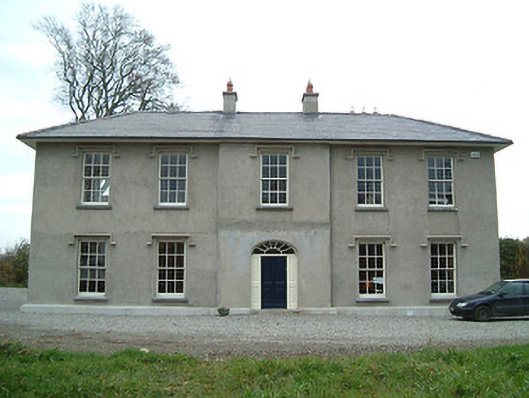 Eden Hallfarm house · 1563 yd
 CastleCastle, unclassified · 1645 yd
 Moat Castle (site of)Archaeological place · 1653 yd
 Donaghmore WellSpring · 1.5 mi
 Anker's IslandIsland · 1.7 mi
 1798 MonumentMemorial · 4.9 mi
 Jenkinstown ParkWood · 5.1 mi
 Red horse-chestnutRed horse-chestnut · 6.0 mi