What is recorded here
The precise location of Kiltemplan Church has not been identified. Westropp (1904-5, 370) gives the following details on Kiltemplan Church; 'A townland, near last (Civil Survey, p. 16). Kiltemplane, with Kilcullman, Kilcoulta, and Clounana, granted to W. Barker, May, 1667 (Act Sett. xxi. Car. ii. 1). Site - Kiltemplan is locally Temple na Caoille, but nothing remains of the church'.
Compiled by: Caimin O'Brien
Date of upload: 4 October 2018
The monument record does not grant public access. Check the route and ask the landowner before entering private land.
- What survives
- Recorded monument
Places near here
 Dotted outlineFairy fort / earthen ringfort · 1328 yd
 Grave YardGraveyard · 1494 yd
 Cragbeg Housecountry house · 1655 yd
 Site of CastleCastle, unclassified · 1668 yd
 CastleCastle, unclassified · 1716 yd
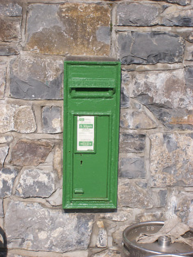 post boxpost box · 1.0 mi
 Sailors HaggardMemorial · 4.0 mi
 Grass IslandIslet · 5.1 mi
 Maiden RockNamed rock · 5.3 mi
 Mellon PointHeadland · 5.7 mi
 European ashEuropean ash · 6.0 mi
 Flat cemetery in Kiltenan SouthFlat cemetery · 6.5 mi