What is recorded here
Indicated is a graveyard in County Louth where a road splits the burials and the remains of a church still stand in the north half. The south half may hide a holy well, suggesting the dead and the living once shared the same water. A place like that does not ask to be remembered, it waits to be recognized.
Sub-rectangular shaped graveyard divided by road (map dims c. 100m E-W; c. 50m N-S) with remains of church (LH014-018001-) in N half and possible holy well at SE.
Compiled by: Claire Breen
Date of upload: 30 May 2012
The monument record does not grant public access. Check the route and ask the landowner before entering private land.
- What survives
- Recorded monument
Places near here
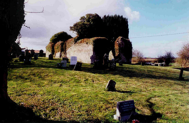 Church in ruinsChurch · 14 yd
 Holy well in CharlestownHoly well · 18 yd
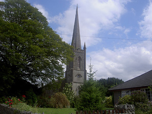 Saint Michael's Church (Charlestown)church/chapel · 58 yd
 Enclosure in PepperstownEnclosure · 716 yd
 Site of Cookstown CastleCastle, unclassified · 1423 yd
 Site of Mullanstown CastleCastle, unclassified · 1.3 mi
 Long PlantationForest · 1.3 mi
 English hollyEnglish holly · 1.8 mi
 Sir Frederick Foster MemorialMemorial · 2.4 mi
 Graveyard in StickillinGraveyard · 3.4 mi
:no_upscale()/cdn.vox-cdn.com/uploads/chorus_asset/file/25593391/County_Louth_6th.jpg) LouthMountain / peak · 4.1 mi
LouthMountain / peak · 4.1 mi Screedoge HillMountain / peak · 4.2 mi