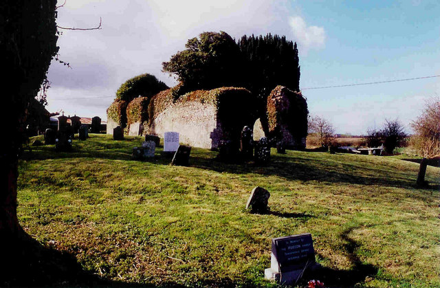
What is recorded here
The following description is derived from both the published 'Archaeological Inventory of County Louth' (Dublin: Stationery Office, 1986) and the 'Archaeological Survey of County Louth' (Dublin: Stationery Office, 1991). In certain instances the entries have been revised and updated in the light of recent research.
Date of upload/revision: 17 July 2007
Rectangular structure (max. dims. 17.1m by 5.1m), nave and chancel divided by pointed chancel arch. Door in W wall with two light window overhead. Church does not appear to be older than 1622 and was added to in c. 1692. (CLAJ 1943, 203).
The monument record does not grant public access. Check the route and ask the landowner before entering private land.
- What survives
- Recorded monument
Places near here
 Holy well in CharlestownHoly well · 31 yd
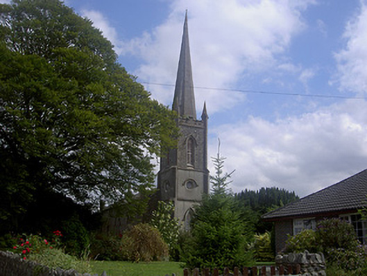 Saint Michael's Church (Charlestown)church/chapel · 54 yd
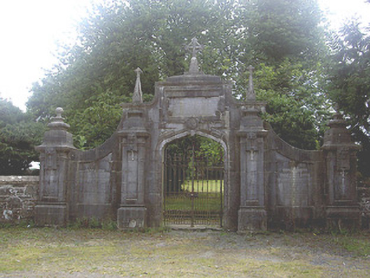 gates/railings/wallsgates/railings/walls · 82 yd
 Enclosure in PepperstownEnclosure · 730 yd
 Site of Cookstown CastleCastle, unclassified · 1410 yd
 Site of Mullanstown CastleCastle, unclassified · 1.3 mi
 Long PlantationForest · 1.3 mi
 English hollyEnglish holly · 1.8 mi
 Sir Frederick Foster MemorialMemorial · 2.4 mi
 Graveyard in StickillinGraveyard · 3.4 mi
:no_upscale()/cdn.vox-cdn.com/uploads/chorus_asset/file/25593391/County_Louth_6th.jpg) LouthMountain / peak · 4.1 mi
LouthMountain / peak · 4.1 mi Screedoge HillMountain / peak · 4.2 mi
Other information
Photo: Kieran Campbell · CC BY-SA 2.0