What is recorded here
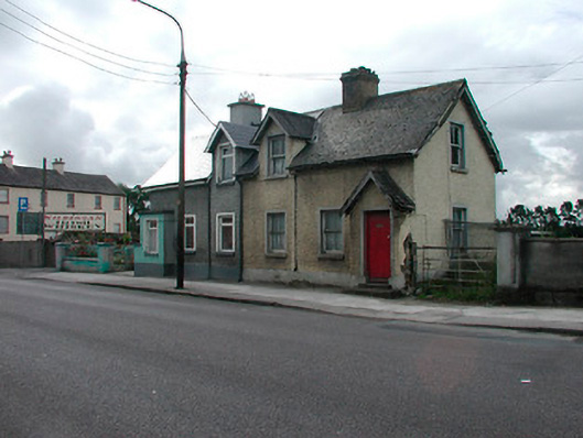
Semi-detached three-bay single-storey local authority house with dormer attic, built c.1900, now vacant. One of a pair with the building to the east. Pitched natural slate roof with brick chimneystack and cast-iron rainwater goods. Roughcast rendered walls over smooth rendered plinth. Gable-fronted dormer window with pitched natural slate roof to facade having a square-headed opening with two-over-two pane timber sliding sash window. Square-headed window openings to rest of structure with stone sills and two-over-two pane timber sliding sash windows. Projecting gabled fronted entrance porch to western-most bay with pitched natural slate roof and simple bargeboard. Square-headed door opening with timber door. Fronting onto footpath at road edge to west-end of Kilbeggan.
An attractive, well-built, modest-scale house which retains its early form and fabric. It is the best surviving example of a pair of houses, the other having been modernised in recent years. It was originally constructed as part of an extensive scheme of social housing at the end of the nineteenth/early twentieth-century . This was a time when many houses of this type were being built throughout Ireland, by the various local authorities, following the passing of various Labourers' Acts by the British Parliament. These houses were usually built to a high architectural standard and it is rare to find an example in such good condition. This structure is very similar in form to a number of social housing schemes on the outskirts of Mullingar, notably at Springfield Cottages, near Dublin Bridge. This appealing structure remains an interesting reminder of a phase of Irish architectural history and is an important part of the architectural heritage of Westmeath. This building is very similar in form to those found at Springfield Cottages, Mullingar.
This does not grant access. Most recorded buildings are privately owned; view them only from public ground unless the owner allows entry.
Places near here
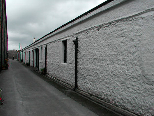 Kilbeggan Distillerystore/warehouse · 94 yd
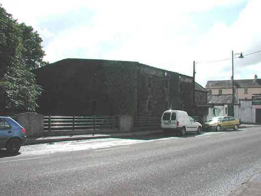 store/warehousestore/warehouse · 110 yd
 Ecclesiastical enclosure in KilbegganEcclesiastical enclosure · 389 yd
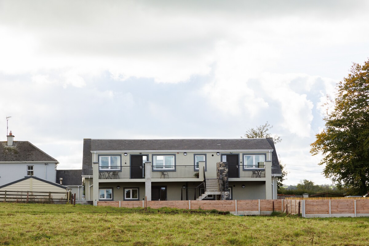 OutlinedFairy fort / earthen ringfort · 1.1 mi
 CastleCastle, unclassified · 1.7 mi
 Durrow HillMountain / peak · 2.0 mi
 Bonfire HillMountain / peak · 2.2 mi
 Shancourt or MeeneglishCastle, unclassified · 2.3 mi
 High WoodWood · 2.7 mi
 Ardan WoodWood · 2.9 mi
 St. Columba's WellSpring · 2.9 mi
 Clara Bog BoardwalkHeritage attraction · 6.1 mi
Other information
Photo: National Inventory of Architectural Heritage · Website use allowed for educational or private purposes with source credit