What is recorded here
Forty-five feet of deliberate earth stood in Cecilstown pasture until machinery erased the fort around 1967. Bowman measured its surviving bank at four to six feet high in 1934, while a fifteen-foot-wide fosse lay practically filled and the interior rose three feet above the surrounding field. The disappearance transformed a visible neighbour into a vague low rise, forcing later visitors to imagine rather than walk its rampart.
In pasture, on gentle N-facing slope. Depicted as hachured circular enclosure (diam. c. 45m) with interior planted with trees on 1842, 1905 and 1937 OS 6-inch maps. According to local information 'fort' levelled c. 1967; low rise visible in area of site. Recorded by Bowman (1934, 56) as single ramparted fort in D. Buckley's land; bank 4 to 6ft H; fosse (Wth c. 15ft) 'practically filled in'; interior c. 3ft higher than outside field level. Possible fulacht fiadh (CO024-12202-) just N of fort.
The above description is derived from the published 'Archaeological Inventory of County Cork. Volume 4: North Cork' (Dublin: Stationery Office, 2000). In certain instances the entries have been revised and updated in the light of recent research.
Date of upload/revision: 14 January 2009
A fairy fort or earthen ringfort in Cecilstown, likely dating to the early medieval period, is indicated by its circular enclosure and historical map depictions. Local tradition refers to it as a 'fort,' and while folklore is not specifically recorded, its survival in maps and the name suggest possible associations with myth or legend.
The monument record does not grant public access. Check the route and ask the landowner before entering private land.
- What survives
- Recorded monument
Places near here
 Fulacht fia in CecilstownFulacht fia · 42 yd
 Ballygiblin Housegates/railings/walls · 522 yd
 Field system in Scart (orrery and Kilmore By., Ballyclogh Par.)Field system · 715 yd
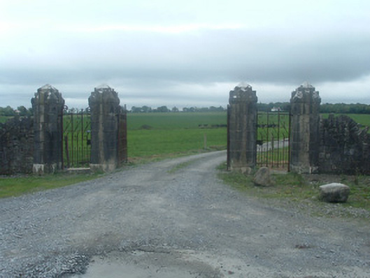 Castlelohortgates/railings/walls · 785 yd
 Lohort CastleCastle, tower house · 1430 yd
 Graveyard in Ballygiblin (duhallow By.)Graveyard · 1495 yd
 CastleBawn · 1.6 mi
 European YewEuropean Yew · 2.6 mi
 Burial ground in AssolasBurial ground · 2.8 mi
 Dromaneen CastleHeritage attraction · 3.7 mi
 Lady's WellSpring · 3.9 mi
 St Fursey's WellSpring · 4.6 mi