
What is recorded here
Settlement deserted is a settlement deserted (medieval) in Cavestown AND Rosmead, County Westmeath, Ireland. This complex of earthworks, rectangular enclosures, banks and fosses measures up to 180 metres from north to south and 130 metres from east to west, enclosing an area of 2 hectares in grassland 50 metres west of the Stoneyford River. A square earthen platform and a larger rectangular platform sit in the northwest corner, while three small paddocks and a raised trackway run along the southern perimeter. A shallow U-shaped ditch with outer banks runs south then east toward the river, possibly a mill race, and encloses cultivation ridges aligned from east to west.
Situated in grassland with Stoneyford River 50m to E. The townland boundaries with Robinstown Great and Robinstown Little adjoin the W & N sides of the earthwork complex respectively. The Stoneyford River forms the E boundary of the site. This is a series of earthworks, rectangular enclosures, banks & fosses (max. dims. 180m N-S; 130m E-W) enclosing an area of 2 hectares. In the NW corner of the complex there is a square shaped earthen platform (dims. 14m), and adjoining this at E there is a rectangular platform (dims. 22m N-S; 30m E-W) enclosed by a shallow fosse and outer bank. To the S of these enclosures are three rectangular fields or small paddocks enclosed by earthen banks, with a raised track way, running NE-SW along the S perimeter. On the W of this earthwork is a shallow U-shaped ditch (Wth 4.3m) with outer banks (H 0.7m) which runs to S, then turns E to meet the River Stoneyford which may be the remains of a possible mill race or water drainage ditch. This encloses an area of cultivation ridges aligned E-W. Some of the features in this field may be related to post-1700 drainage while others may be associated with possible settlement.
Compiled by: Frank Coyne and Caimin O'Brien
Date of upload: 17 May 2017
The monument record does not grant public access. Check the route and ask the landowner before entering private land.
- What survives
- Recorded monument
Places near here
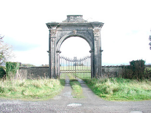 Rosmead Housedemesne walls/gates/railings · 670 yd
 Clonarney Church (in Ruins)Castle, tower house · 1427 yd
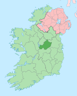 Not idnicatedEcclesiastical enclosure · 1447 yd
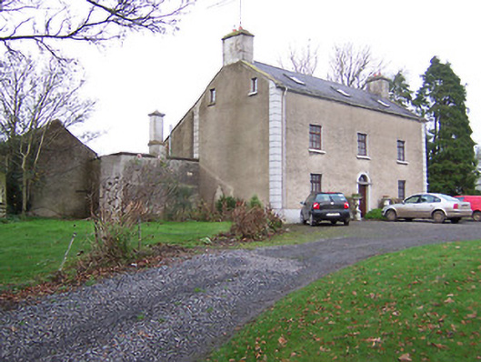 Clonmaskill Househouse · 1574 yd
 OutlinedFairy fort / earthen ringfort · 1.0 mi
 IndicatedCastle, motte · 1.5 mi
 European YewEuropean Yew · 1.7 mi
 Persian WalnutPersian Walnut · 1.8 mi
 Kells HillMountain / peak · 4.9 mi
 Drewstown LittleMountain / peak · 4.9 mi
 Zip WireHeritage attraction · 8.3 mi
 LoughcrewMegalithic tomb cemetery · 8.5 mi
Other information
Photo: Credit not shown in the picture search · Rights wording not checked; contact us if this picture should be removed