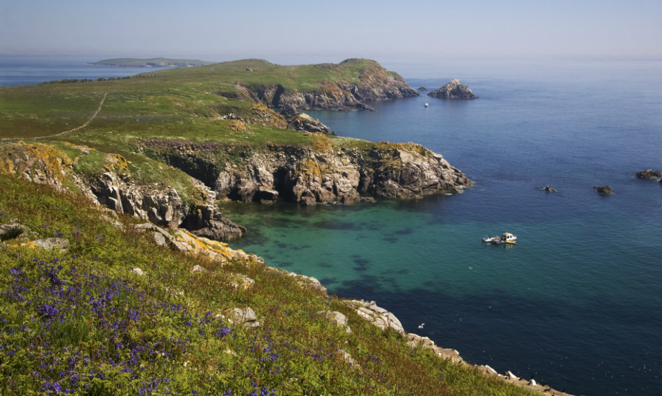
What is recorded here
Two small islands sit sixty metres apart in a sheltered bay on Lough Ramor, and one holds a two-metre mound that still defies easy explanation. The larger island stretches a hundred metres, the smaller circles at forty, and together they fit the crannog tradition of lake dwellings built from timber, stone and peat. Davies surveyed the site in 1940 but never recorded which island carried the mound or whether humans shaped it, leaving the puzzle alive across the decades. Water would have hidden footpaths, tools and perhaps entire rooms, while the bay kept the place defensible against land-based danger. The mound may be a geological accident or the remains of a dwelling, burial or platform, and that uncertainty is what makes the islands worth remembering.
Crossafehin Islands is recorded as a islet in County Cavan. Its open map record supplies this location and any linked names or public references.
Places near here
 MoatCastle, motte and bailey · 426 yd
 Fort Frederick IslandsIslet · 578 yd
 Scrabby IslandIslet · 918 yd
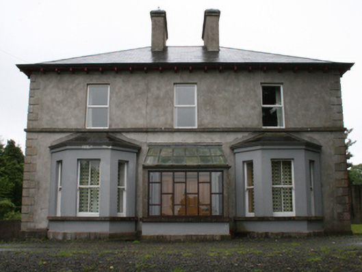 rectory/glebe/vicarage/curate's houserectory/glebe/vicarage/curate's house · 1008 yd
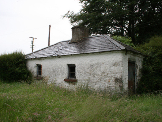 Lake View Househouse · 1071 yd
 Fort Frederick DemesneForest · 1251 yd
 Knockatemple WoodlandWood · 1495 yd
 IndicatedFairy fort / stone ringfort · 1.2 mi
 ToberpatrickHoly well · 1.5 mi
 Welcome to VirginiaVisitor information · 1.8 mi
 Fennor RockMountain / peak · 1.9 mi
 Virginia Handball ClubMemorial · 1.9 mi
Other information
Photo: Credit not shown in the picture search · Rights wording not checked; contact us if this picture should be removed