What is recorded here
Castle Troy still stands on the southern bank of the River Shannon, but its eel-weir has vanished into water and time. Theobald Lord Baron of Brittas owned that hidden trap in 1640, suggesting the castle drew life from the river rather than resisting it. The weirs may have predated the stone, meaning the fish, not the lord, shaped the boundary of the estate.
The ruins of Castle Troy (LI006-017001-) stands on the S bank of the River Shannon. The 1654-56 Civil Survey of Limerick recorded that in 1640 Theobald Lord Baron of Brittas was the proprietor in 'CallaghItroy' of a 'ruined castle an orchard [LI006-017002-] & an Eele weare upon it' (Simington 1938, 465). The precise location of this eel-weir on the River Shannon which belonged to the residents of Castle Troy has not been identified. The 1840 ed. OS 6-inch map shows eel-weirs on the River Shannon 300m to the W of the castle which may have been built on the site of the medieval eel-weirs that formed part of the estate of Castletroy.
Compiled by: Caimin O'Brien
Date of upload: 11 May 2020
The monument record does not grant public access. Check the route and ask the landowner before entering private land.
- What survives
- Recorded monument
Places near here
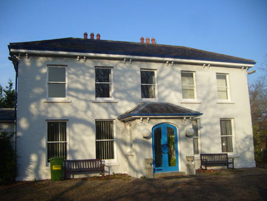 Park Househouse · 303 yd
 Castle Troy (in ruins)Castle, tower house · 455 yd
 BarrowBarrow, unclassified · 705 yd
 Grave Yd.Graveyard · 752 yd
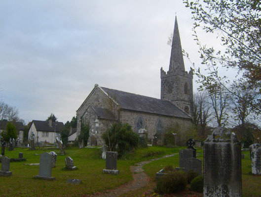 Kilmurry Arts and Heritage Centrechurch/chapel · 772 yd
 Campus MapVisitor information · 1325 yd
 Visitor CentreVisitor information · 1405 yd
 Fountain SculptureHeritage attraction · 1520 yd
 Jackie PowerMemorial · 1.0 mi
 University of Limerick FlagpostsHeritage attraction · 1.0 mi
 New CastleCastle · 1.1 mi
 Graveyard in AbingtonGraveyard · 6.2 mi