
What is recorded here
In low-lying grassland approx. 40m W of the Mulkear River, that forms the townland boundary with Ballyvollane. The site is not indicated on the 1840 OS 6-inch map or any subsequent OS maps. Identified in 1990 by Celie O’Rahilly as a possible ring-barrow when it was described as following; 'Located in the south-east corner of the area, on flat ground, is a possible Ring Barrow. It consists of a trace of a circular feature defined by a very low bank, ca. 30m in diameter, in the centre of which is a depression. This appears to have been recently infilled with clay' (O'Rahilly 1990). An Archaeological Assessment Report carried out by Aegis Archaeology Ltd. in 2009/10 recorded the following details about this monument; 'The fieldwork and survey carried out a part of this report has the found that the dot (on www.archaeology.ie) is slightly too far to the north. The true location is marked by means of an arrow on figure 5. The site is visible as a sub-circular platform approximately 30m in diameter, and 0.6m above the surrounding ground level. The sides of the platform slope gently towards exterior ground level. No trace of the bank mentioned in the O'Rahilly report was noted. A depression was noted in the NE quadrant of the site, measuring 3m north-south by 2m east-west, 0.3m deep. A possible ditch although very indistinct, was noted from S through E to NW, (in parts discernible as an area of greener vegetation than the surrounding land) averaging 3m wide and 0.2m deep, although the suggestion of the ditch at S has been augmented by tractor tracks. the ditch could not be clearly defined at W, due to flattened long grass at this side' (Coyne 2009, 12-13). Google Earth orthoimage taken 2018 indicates faint traces of a sub-circular shaped cropmark at this location.
Compiled by Martin Fitzpatrick
Date of upload: 11 June 2020
A local ancient tomb; wider significance not recorded.
The monument record does not grant public access. Check the route and ask the landowner before entering private land.
- What survives
- Recorded monument
Places near here
 Castle Troy (in ruins)Castle, tower house · 624 yd
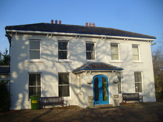 Park Househouse · 771 yd
 Enclosure in SrawickeenEnclosure · 982 yd
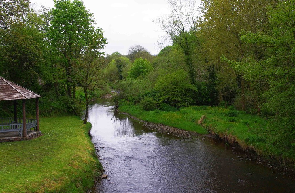 Enclosure in RiversEnclosure · 1131 yd
 Jackie PowerMemorial · 1345 yd
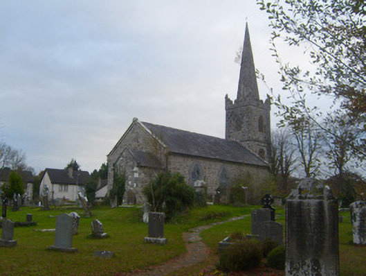 Kilmurry Arts and Heritage Centrechurch/chapel · 1401 yd
 Campus MapVisitor information · 1.1 mi
 Visitor CentreVisitor information · 1.2 mi
 Fountain SculptureHeritage attraction · 1.3 mi
 University of Limerick FlagpostsHeritage attraction · 1.4 mi
 New CastleCastle · 1.5 mi
 Graveyard in AbingtonGraveyard · 5.9 mi
Other information
Photo: Credit not shown in the picture search · Rights wording not checked; contact us if this picture should be removed