What is recorded here
Fairy forts are human remains, misnamed by fear or wonder. In Castletowncooley, a ringfort and rectangular annexe stood inside County Louth until destruction in 1970. The earthen bank was broad enough to walk, tall enough to mark a boundary, and the whole place large enough for a small dwelling, a workshop, or a seasonal camp. Its name preserves the moment people stopped knowing whose hands had built it.
The following description is derived from both the published 'Archaeological Inventory of County Louth' (Dublin: Stationery Office, 1986) and the 'Archaeological Survey of County Louth' (Dublin: Stationery Office, 1991). In certain instances the entries have been revised and updated in the light of recent research.
Date of upload/revision: 17 July 2007
Destroyed in 1970. Sub-circular area (int. dims. 28m N-S, 25m E-W) enclosed by earthen bank (Wth 4.5m, H 0.4m internally, 1.4m externally) with slight traces of external fosse at S. Possible entrance gap (Wth 2.5m) at NE. Sub-rectangular annexe (LH008-054002-) (int. dims. 21.5m E-W, c. 11m N-S) at E, enclosed by earthen bank, with indications of fosse between ringfort and annexe.
This monument is subject to a preservation order made under the National Monuments Acts 1930 to 2014 (PO no. 11/1973).
The monument record does not grant public access. Check the route and ask the landowner before entering private land.
- What survives
- Recorded monument
Places near here
 Enclosure in CastletowncooleyEnclosure · 24 yd
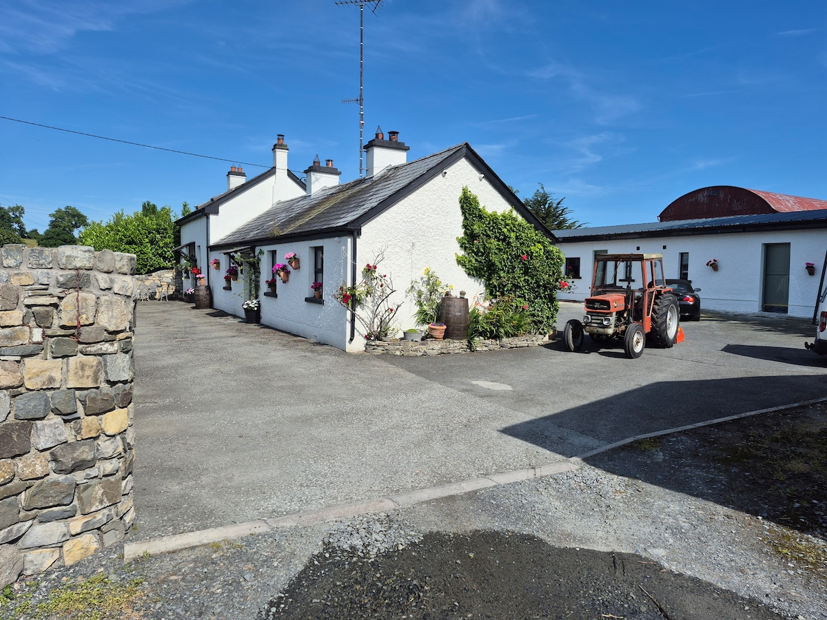 DunanoreFairy fort / earthen ringfort · 335 yd
 Grange UpperMountain / peak · 675 yd
 Castletown Househouse · 787 yd
 Cooley CastleCastle, tower house · 822 yd
 R.C. ChapelChurch · 1256 yd
 Mount Bagnell FoerCastle, motte and bailey · 1.0 mi
 The BushPicnic place · 1.1 mi
 BarnavaveMountain / peak · 1.3 mi
 Carlingford - Loop 1A- Commons LoopWalking route · 2.0 mi
 Carlingford Heritage CentreVisitor information · 2.3 mi
 Graveyard in Liberties OF CarlingfordGraveyard · 2.3 mi