What is recorded here
Melt water raged through the trough while people watched the steam climb. The Galmoy land gave up its hidden kitchen only because a new pond cut through the memory of the plain. Stones still hold the heat of that forgotten work.
On level ground in a low-lying plain of the River Gaul. Discovered during the monitoring of the construction of a third tailings pond at Galmoy Mines in 2006 (Excavation licence no. 06E0298). An area (c. 18m x 19m) of burnt stones and ash deposits surrounding a central trough that sat within a bowl-shaped depression. Numerous satellite features were also found. The monument was preserved in situ under a layer of geotextile, a layer of hardcore and topsoil. Another fulacht fia (KK003-044----) was discovered c. 35 m to the NW. (O’Connor 2006; 2009, no. 1006, 256)
Compiled by: Mary Tunney
Date of upload: 30 September 2013
The monument record does not grant public access. Check the route and ask the landowner before entering private land.
- What survives
- Recorded monument
Places near here
 IndicatedCastle, ringwork · 716 yd
 Cnoc SeanrathaMemorial · 771 yd
 Erke Churchchurch/chapel · 803 yd
 Cody's CastleCastle · 851 yd
 Fortification in Castletown (galmoy By.)Fortification · 864 yd
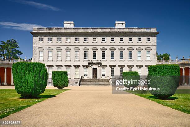 Enclosure in Castletown (galmoy By.)Enclosure · 1039 yd
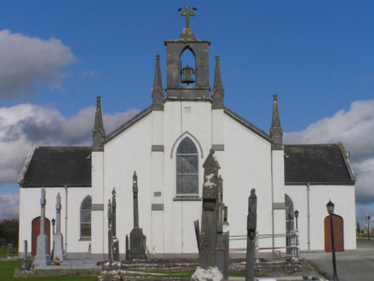 Catholic Church of the Immaculate Conceptionchurch/chapel · 1.5 mi
 Street fieldArchaeological place · 3.6 mi
 DelaneyMemorial · 3.8 mi
 Clonmeen WoodWood · 4.3 mi
 Tullow HillMountain / peak · 4.6 mi
 Clomantagh HillMountain / peak · 5.6 mi