What is recorded here
Cu Chullainn's Stone stands twenty-three centimetres tall on a rocky outcrop in Castlering, its slate surface worn smooth by centuries of rain and touching hands. Local tradition claims the hero himself marked the spot, though no written record confirms the deed. The stone still catches evening light across the undulating countryside, inviting wonder rather than proof.
The following description is derived from both the published 'Archaeological Inventory of County Louth' (Dublin: Stationery Office, 1986) and the 'Archaeological Survey of County Louth' (Dublin: Stationery Office, 1991). In certain instances the entries have been revised and updated in the light of recent research.
Date of upload/revision: 17 July 2007
Situated on a rocky outcrop in undulating countryside. Slate slab (max. dims. H 2.3m, 1.2m by 0.6m in section), known locally as 'Cu Chullainn's Stone'. (ITA Survey, 1940)
The monument record does not grant public access. Check the route and ask the landowner before entering private land.
- What survives
- Recorded monument
Places near here
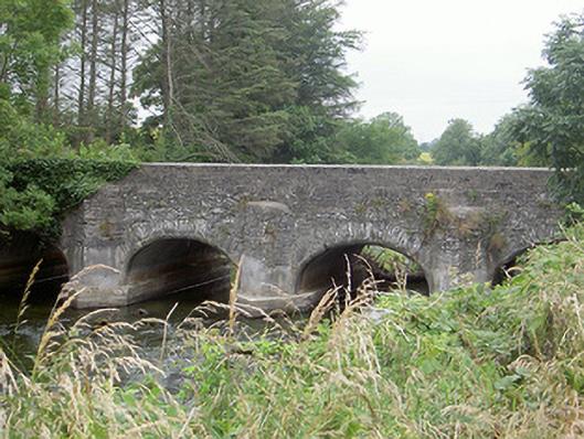 Castlering Bridgebridge · 361 yd
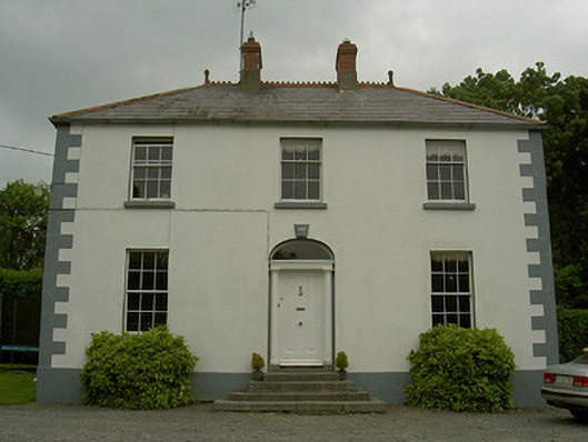 Hollow Househouse · 456 yd
 CastleCastle, motte and bailey · 523 yd
 Enclosure in ChanonrockEnclosure · 959 yd
 Man-made underground passage in CarrickmullanMan-made underground passage · 1014 yd
 Mount AshCastle, motte · 1493 yd
:no_upscale()/cdn.vox-cdn.com/uploads/chorus_asset/file/25593391/County_Louth_6th.jpg) LouthMountain / peak · 2.1 mi
LouthMountain / peak · 2.1 mi Photo GalleryHeritage attraction · 4.9 mi
 Dundalk CentralHeritage attraction · 4.9 mi
 Maid of ErinMemorial · 5.4 mi
 Bombing 1975Memorial · 5.4 mi
 Sky HillMountain / peak · 5.8 mi