
What is recorded here
Situated on a slight SE-NW spur with the headwaters of a SE-NW stream c. 170m to the SW. Circular grass-covered mound (diam. 7.5-8m; H 0.2-0.4m) defined by a fosse (Wth of top 4-4.6m; Wth of base 1.7-2.4m) and outer bank (Wth 3.4-4.3m; int. H 0.8-1.1m; ext. H 0.5-0.7m). There is no visible entrance (max. ext. dims. 19.3m NE-SW; 17.3m NW-SE). A ring-barrow (WA013-006----) is c. 70m to the SE.
The above description is derived from the published 'Archaeological Inventory of County Waterford' (Dublin: Stationery Office, 1999). In certain instances the entries have been revised and updated in the light of recent research.
Date of upload/revision: 23 December 2008
A ring-barrow, likely dating to the Early Bronze Age, associated with burial practices in lowland areas. Its construction with a fosse and outer bank reflects a regional variation in funerary monument design.
The monument record does not grant public access. Check the route and ask the landowner before entering private land.
- What survives
- Recorded monument
Places near here
 BarrowBarrow, ring-barrow · 115 yd
 Pigeon HillMountain / peak · 259 yd
 IndicatedEnclosure, large enclosure · 581 yd
 Site of CastleCastle, unclassified · 1173 yd
 KnockeenMountain / peak · 1.0 mi
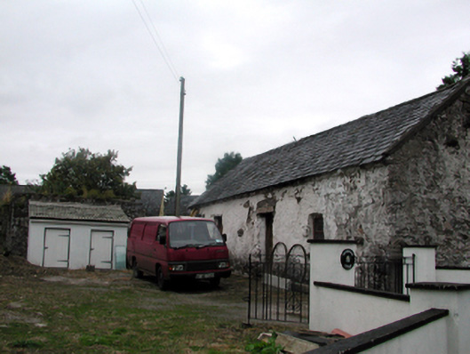 Shandarrick Cottageoutbuilding · 1.2 mi
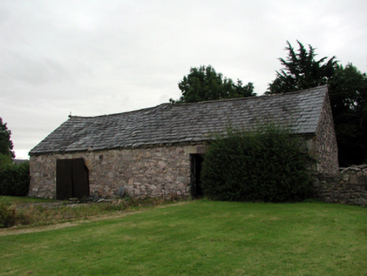 farmyard complexfarmyard complex · 1.3 mi
 Laeka WoodWood · 1.9 mi
 Turraphuca WoodForest · 2.5 mi
 Curraghcloney CastleCastle · 2.9 mi
 Siglloges LoopWalking route · 4.7 mi
Other information
Photo: Credit not shown in the picture search · Rights wording not checked; contact us if this picture should be removed