What is recorded here
You need to be a little clever, a little quick, a little bright, a little dangerous. That is the game. Those are the rules. The chamber is not a chamber of records. It is a firing range for the muscle you keep asleep.
On the W-facing slope of a high ridge. A report in 1976 (SMR file) recorded a raised circular area (diam. c. 30m) enclosed from NE-ENE-E by a low bank of earth and stone. From E-S-SSW the circuit and morphology of the bank had been altered where it had been incorporated into a NE-SW field boundary. Elsewhere the defining element was a low scarp (H 0.4m). There was no trace of a fosse and the original entrance was not recognisable. The rath is densely overgrown with scrub rendering inspection impossible.
Compiled by: Patrick F. O'Donovan
Date of upload: 26 August 2011
The monument record does not grant public access. Check the route and ask the landowner before entering private land.
- What survives
- Recorded monument
Places near here
 IndicatedEnclosure · 731 yd
 National Famine WayWalking route · 769 yd
 Bawn in CastlereaBawn · 1144 yd
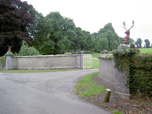 Castlereagates/railings/walls · 1460 yd
 Enclosure in MollyroeEnclosure · 1475 yd
 Church in Moydow GlebeChurch · 1.4 mi
 Bawn Castle & NunneryHouse, fortified house · 1.7 mi
 Graveyard in Curry (ardagh By., Coolamber Ed)Graveyard · 3.7 mi
 Corlea Bog Walk Canal BranchWalking route · 4.5 mi
 Corlea Trackway Interpretative CentreHeritage attraction · 4.7 mi
 Leveret IslandIslet · 9.6 mi
 White Sand WoodWood · 9.8 mi