
What is recorded here
Castle Mitchell vanished before the house appeared, leaving no stone or ditch for modern eyes to judge. It existed only on old survey lines just northeast of the present building, recorded by Gearóid Conroy on 25 November. The land keeps a ghost shape instead of a ruin, forcing imagination to finish what measurement stopped.
Shown on the OS 6-inch mapping just NE of the present ‘Castlemitchell House’. No visible surface trace survives.
Compiled by: Gearóid Conroy
Date of upload: 25 November
The monument record does not grant public access. Check the route and ask the landowner before entering private land.
- What survives
- Recorded monument
Places near here
 Brackney WoodForest · 1082 yd
 Church (in Ruins)Church · 1264 yd
 Enclosure in Castlemitchell NorthEnclosure · 1276 yd
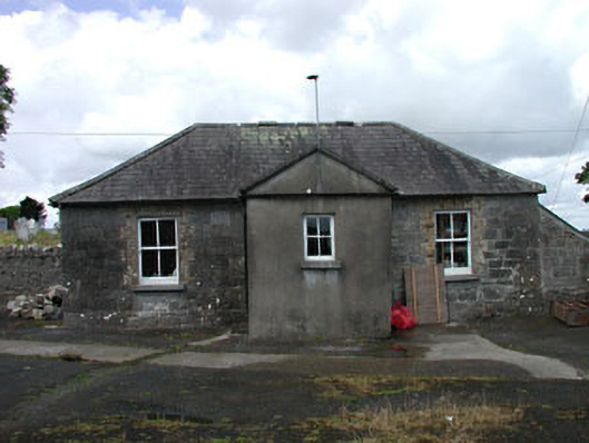 The Old Schoolschool · 1298 yd
 Enclosure in Castlemitchell SouthEnclosure · 1516 yd
 Blackford Castle (in Ruins)Castle, tower house · 1.4 mi
 DM PenderMemorial · 1.5 mi
 Pedunculate OakPedunculate Oak · 1.8 mi
 Cobbler's Castle WalkWalking route · 2.3 mi
 Reban CastleCastle, Anglo-Norman masonry castle · 2.3 mi
 Mass RockNamed rock · 2.4 mi
 Mass Rock WalkWalking route · 2.5 mi
Other information
Photo: Credit not shown in the picture search · Rights wording not checked; contact us if this picture should be removed