
What is recorded here
Identified during an aerial photographic survey by Dr. Gillian Barrett in 1991. Aerial photograph (GB91.EE.22) shows the cropmark of a circular enclosure defined by a fosse.
Compiled by: Gillian Barrett
Date of upload: 12 December 2011
A local fairy fort (ringfort/rath); wider significance not recorded.
The monument record does not grant public access. Check the route and ask the landowner before entering private land.
- What survives
- Recorded monument
Places near here
 Enclosure in KilcooEnclosure · 793 yd
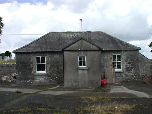 The Old Schoolschool · 948 yd
 Church (in Ruins)Church · 968 yd
 Castle MitchellCastle, unclassified · 1276 yd
 Enclosure in Castlemitchell SouthEnclosure · 1281 yd
 Brackney WoodForest · 1.3 mi
 Blackford Castle (in Ruins)Castle, tower house · 1.9 mi
 DM PenderMemorial · 2.1 mi
 Pedunculate OakPedunculate Oak · 2.5 mi
 Ernest ShackletonMemorial · 2.6 mi
 Town HallMuseum · 2.7 mi
 Cobbler's Castle WalkWalking route · 3.0 mi
Other information
Photo: Credit not shown in the picture search · Rights wording not checked; contact us if this picture should be removed