What is recorded here
Limerick farmland still holds a ghost avenue, its shallow scarped edge stretching seventy metres toward the vanished Castle Lloyd. The house is gone, but the path remains, a designed line cutting through ordinary pasture. Someone built that entrance to be seen and walked, shaping land into invitation. The castle forgot the name, yet the ground remembers the gesture.
In slightly undulating pasture. Depicted on current edition OS 6-inch map as L-shaped earthwork (L c. 70m N-S) with a return (long-axis WNW-ESE) to W (L c. 60m) at N-end. Remains consist of levelled earthwork defined by slight scarped edge (L c. 75m; Wth 3.5m; H 0.3m) (long-axis E-W) which formed N arm of earthwork. This feature would seem to be the remains of a raised avenue shown on the 1840 OS map leading to the country house Castle Lloyd; this house does not survive.
Compiled by: Denis Power
Date of upload: 5 September 2013
The monument record does not grant public access. Check the route and ask the landowner before entering private land.
- What survives
- Recorded monument
Places near here
 CloghadaltonCastle, unclassified · 124 yd
 Castle Lloydfolly · 257 yd
 Oola National Schoolschool · 400 yd
 Grave YardGraveyard · 474 yd
 Enclosure in Garryduff (coonagh By.)Enclosure · 637 yd
 Oola HillMountain / peak · 1185 yd
 Oola Castle (in ruins)Castle, tower house · 1.1 mi
 ToberagaddySpring · 3.4 mi
 KnockseefinMountain / peak · 4.5 mi
 St. Patrick's WellSpring · 5.6 mi
 Flat cemetery in Knockainy WestFlat cemetery · 8.9 mi
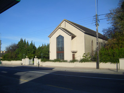 Catholic Church of the Sacred Heartchurch/chapel · 429 yd