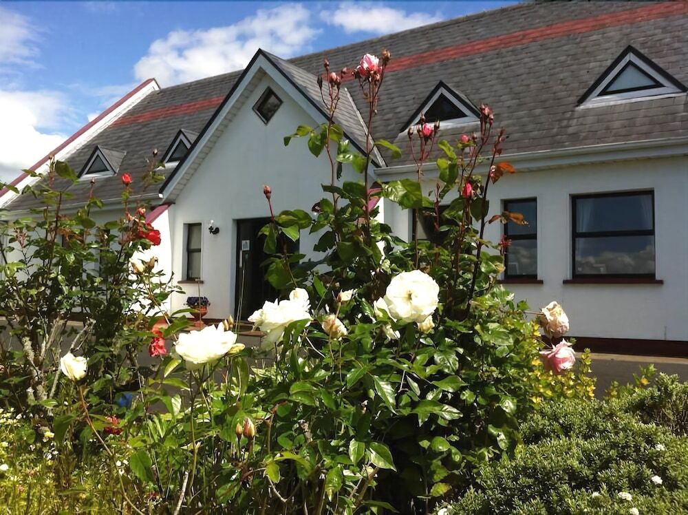
What is recorded here
Situated in the village of Oola. Irregular shaped area (approx. dims. 114m N-S x 45m E-W) enclosed by a post 1700 wall with entrance gate at E. Site of medieval church (LI025-016001-) of Oola inside graveyard. In 1840 the Ordnance Survey letters recorded that 'no part of the old Church of this parish is now to be seen nor has been these many years, but its grave yard is still used as a cemetery' (OSL, 129).
Compiled by: Caimin O'Brien
Date of upload: 08 January 2019
A local ancient tomb; wider significance not recorded.
The monument record does not grant public access. Check the route and ask the landowner before entering private land.
- What survives
- Recorded monument
Places near here
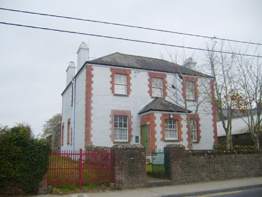 Oola Garda Síochána Stationhouse · 84 yd
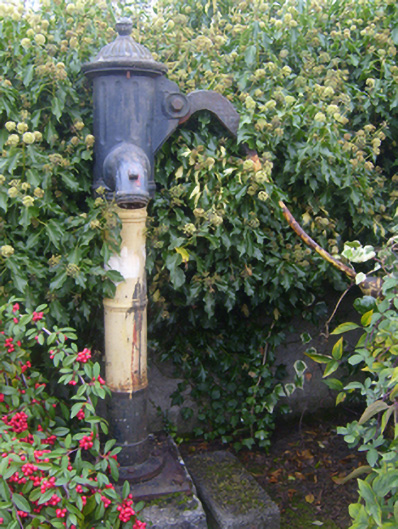 water pumpwater pump · 101 yd
 CloghadaltonCastle, unclassified · 528 yd
 Oola HillMountain / peak · 712 yd
 BarrowBarrow, unclassified · 868 yd
 Field system in Garryduff (coonagh By.)Field system · 1006 yd
 Oola Castle (in ruins)Castle, tower house · 1403 yd
 ToberagaddySpring · 3.7 mi
 KnockseefinMountain / peak · 4.8 mi
 St. Patrick's WellSpring · 5.8 mi
 Flat cemetery in Knockainy WestFlat cemetery · 9.1 mi
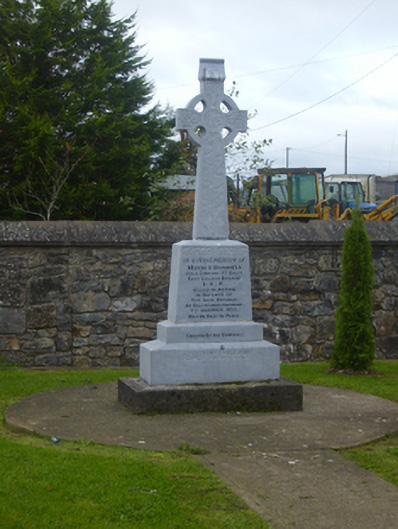 O'Donnell Monumentmonument · 109 yd
Other information
Photo: Credit not shown in the picture search · Rights wording not checked; contact us if this picture should be removed