
What is recorded here
In reclaimed pasture, 100m E of townland boundary with Gortakilleen. Spring well annotated 'Tobernafinnoge' 95m to NNE. Not marked on 1840 ed. OSi 6-inch map. Depicted on the 1897 ed. OSi 25-inch map as circular-shaped area (diam. c. 26m) defined by a fosse. Described in 1960 as; ‘One half of platform missing. Diameter of remaining part is 51 feet [15.5m]; 5 feet [1.5m] over field level. Has an 18 foot [5.4m] wide continuous ditch’ (O’Dwyer 1958-61, 115; Shanaclogh West 56). The monument is clearly visible on OSi orthophotograph taken between 2005-22 and on Google Earth orthoimage dated 18/11/2018. A linear cropmark running E-W is visible to the W of the enclosure with post-1700 field system in field to the W.
See attached drawing by O’Dwyer and Google Earth orthoimage.
Compiled by: Fiona Rooney
Date of upload: 21 April 2021
The monument record does not grant public access. Check the route and ask the landowner before entering private land.
- What survives
- Recorded monument
Places near here
 Oola HillMountain / peak · 672 yd
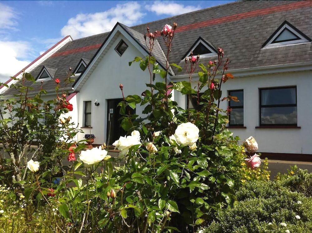
 Shanaclough Househouse · 768 yd
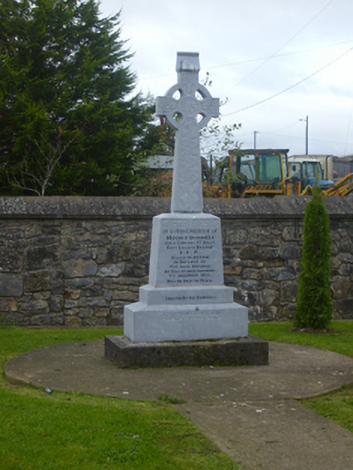 O'Donnell Monumentmonument · 771 yd
 Grave YardGraveyard · 868 yd
 Field system in Shanaclogh EastField system · 920 yd
 Oola Castle (in ruins)Castle, tower house · 1074 yd
 CloghadaltonCastle, unclassified · 1352 yd
 ToberagaddySpring · 4.1 mi
 KnockseefinMountain / peak · 5.2 mi
 St. Patrick's WellSpring · 6.1 mi
 Flat cemetery in Knockainy WestFlat cemetery · 9.2 mi
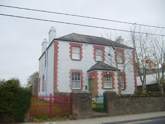 Oola Garda Síochána Stationhouse · 832 yd
Other information
Photo: Credit not shown in the picture search · Rights wording not checked; contact us if this picture should be removed