What is recorded here
Weir marks a lost fishing barrier near Castell Corr in County Longford, recorded in 1518 when two cartrons paid rent with the werys. The precise stones have vanished, but the name preserves the moment human hands bent a river to provide food. That simple act of catching life still echoes beneath the water, waiting for someone to remember the shape of the place.
Associated with a castle (LF026-013002-). Weirs are recorded in the rental book of the earl of Kildare in 1518 in a payment from 'Castell Corr' that notes '2 cartrons with the werys' (MacNiocaill 1992, 275). Their precise locations have not been identified.
Compiled by: Caimin O'Brien
Date of upload: 13 February 2013
The monument record does not grant public access. Check the route and ask the landowner before entering private land.
- What survives
- Recorded monument
Places near here
 CastleCastle, motte · 255 yd
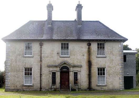 Castlecor Househunting/fishing lodge · 289 yd
 Moygh Househouse · 854 yd
 Cultivation ridges in CastlecoreCultivation ridges · 906 yd
 Fulacht fia in Rathmore (shrule By.)Fulacht fia · 1258 yd
 European BeechEuropean Beech · 1.2 mi
 Bawn in TirlickeenBawn · 1.7 mi
 Noughaval CemeteryArchaeological place · 2.6 mi
 Corlea Bog Walk Canal BranchWalking route · 4.0 mi
 Corlea Trackway Interpretative CentreHeritage attraction · 4.1 mi
 Leveret IslandIslet · 4.5 mi
 Corlea Bog Walk Blue LoopWalking route · 4.5 mi