What is recorded here
Castle in Monaferrick, County Laois, appeared in a 1576 grant to Robert Hartpole, tying stone, land and military service into one royal claim. It may have stood as a small defensive house, a boundary marker or a ruined shadow reused in paperwork. Whatever it was, it entered history through ownership rather than memory, belonging to the living region before becoming an absent name.
Unlocated medieval castle in the townland of Monaferrick that was mentioned in a land grant to Robert Hartpole in 1576. In this year Robert Hartpole of Carlow was granted the ‘manor of the Blackeforde (LA014-045----), a castle in Monyferricke (LA014-100----), Rathmadocke alias the Blackeforde, the lands of Moniferick, Rathmadock alias the Blackeforde, Kilteighan, Garrans, Kilgessin, Ballekilkavan, Dromlin alias Killiclery, Inche alias Ballicowley, and Bavon an old castle in Colvanacre (LA008-015----) alias Colbanahore [Coolbanagher], the lands of Colvanacre alias Colbanahore, Ballarighan, Killgenne, Ballenebeg, Shanebeg, Ballemolrone, and Ballenestraghe, the lands of Shrowle [Shrule] (LA032-012001-), Ballyhormer, Ballecollin, Rathduf, Garribriken, Aghatenan, and Cappescribedor, in the lordship of Slemarge, a ruinous castle and lands in Clonrere [Clonreher] (LA013-019----) alias Merickeston, lands in Cultwerin, Killclonhoberd, Ballekillkaraghe, Knockandiere, Rathnemanaghe, and lands of Killehide, Ballehide, Garrenoe, Ballinecard, Farrinduf, Rossemore, and Ballim’Kegane, in the lordship of Slemarge, the lands of Ballirahen, Rossenalgan, Garroughe, Dormoile, and Capoile, or Cappahoile, in the same lordship; the advowson of the rectory of S. Fenton [Fintan], of Clowenenaghe [Clonenagh] (LA017-003001-), diocese of Leighlen, all in Queen’s co.. To hold for ever, by the service of a fouth part of a knight’s fee; rent £26 1s. 2d., Maintaining six English horsemen’ (Nicholls 1994, 376).
Compiled by: Caimin O’Brien
Date of upload: 16 November 2015
The monument record does not grant public access. Check the route and ask the landowner before entering private land.
- What survives
- Recorded monument
Places near here
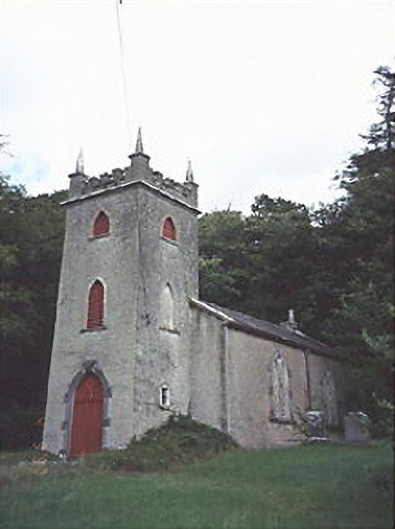 Saint Peter's Church (Curraclone)church/chapel · 361 yd
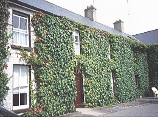 Inch Househouse · 516 yd
 Site of ChurchChurch · 609 yd
 Dotted outline, GlebeEcclesiastical enclosure · 627 yd
 Black WalnutBlack Walnut · 1602 yd
 Blackford Castle (in Ruins)Castle, tower house · 1.0 mi
 Site of Ballymanus CastleCastle, unclassified · 1.1 mi
 Pedunculate OakPedunculate Oak · 1.5 mi
 Beech Way WalkWalking route · 1.8 mi
 Mass RockNamed rock · 1.9 mi
 CEMETERYGraveyard · 1.9 mi
 Cobbler's Castle WalkWalking route · 2.0 mi