What is recorded here
Knockanea Castle stood as a large tower with a side wing on a hill in County Limerick, yet its exact foundation has vanished from the earth. It passed from W. Bourke to Lord Castleconnell and finally Lord Brittas, changing hands across centuries while remaining firmly rooted in the landscape. The structure may still hide beneath grass or stones, waiting for someone to notice the slight rise where human ambition once scraped the sky.
The precise location of a castle in the townland of Knockanea has not been identified. Westropp (1906-7, 95) recorded the following details about Knockanea Castle; '1583 W. Bourke, Knockeneff C[astle]. (Des. R. 37). 1607. Lord Castleconnell was granted C[astle]. of Knockanneagh (Pat. R.). 1655 Knockneneagh held by Lord Brittas, a large tower with a side wing shown (D.S.A., 14, 18, exp.; C.S., xxi., p. 10). See infra under "Brittas." 1663 John Freind to Lord Brittas, saving rights decreed (Act Sett.)'. Tower-house like castle depicted on the 17th century Down Survey map of Clanwilliam Barony (Hib. Reg.). The castle is shown standing on top of a hill on the parish map of Caherconlish (NLI MS. 718). The 1654-56 Civil Survey of Limerick recorded that the Lord of Brittas an Irish Papist was the owner in Knockanea of 'a Castle' (Simington 1938, 64).
Compiled by: Caimin O'Brien
Date of upload: 3 December 2020
William Bourke held Knockanea Castle in 1583; it is remembered from historical records in the Deeds Registry, indicating land and property transactions during the Tudor period in Ireland.
The monument record does not grant public access. Check the route and ask the landowner before entering private land.
- What survives
- Recorded monument
Places near here
 Field system in KnockaneaField system · 344 yd
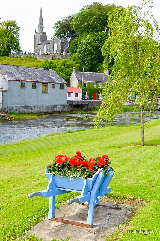 BarrowBarrow, ring-barrow · 774 yd
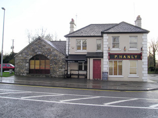 P. Hanlyhouse · 800 yd
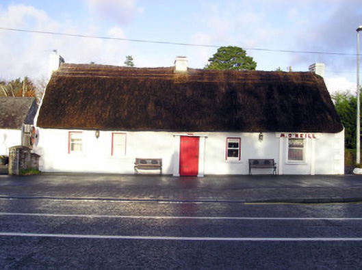 M. O'Neillhouse · 809 yd
 CastleCastle, unclassified · 1054 yd
 TowerCastle, unclassified · 1.0 mi
 St Lawrence's WellSpring · 2.2 mi
 Graveyard in AbingtonGraveyard · 2.4 mi
 Sliev Felim WayVisitor information · 3.9 mi
 KnockseefinMountain / peak · 5.0 mi
 Skool HillMountain / peak · 5.5 mi
 St. Patrick's WellSpring · 6.0 mi