What is recorded here
Kilcurry in County Longford, Ireland: an unidentified castle sits beside the Kilnacarrow and Corrabola boundary on an early 17th-century map of Shrule barony. Whether it was a hall, fortress or boundary marker cannot be known. The castle may have watched the road, collected passage or sheltered a family during storms and conflicts. Its absence from memory does not erase the shape it once cast across the land.
A castle is depicted on an early 17th-century map of Shrule barony (BL, Cotton MS Augustus I.ii.26) close to the townland border between Kilnacarrow and Corrabola, which would place it in the N part of the present townland of Kilcurry. Its precise location has not been identified. (Mac Niocaill 1992, 274)
Compiled by: Caimin O'Brien
Date of upload: 4 November 2012
The monument record does not grant public access. Check the route and ask the landowner before entering private land.
- What survives
- Recorded monument
Places near here
 Molly Ward's Bridgebridge · 214 yd
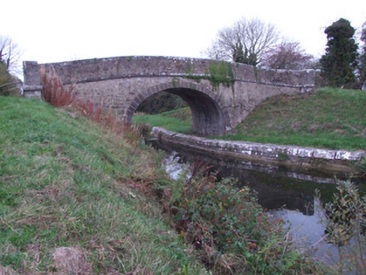 Guy's Bridgebridge · 683 yd
 Enclosure in Killeendowd,taghshinnyEnclosure · 1.0 mi
 Enclosure in LisnacreevyEnclosure · 1.1 mi
 Goldsmith Birthplace, PallasVisitor information · 1.2 mi
 Newcastle WoodsForest · 1.2 mi
 Not locatedCastle, unclassified · 1.4 mi
 Target WoodWood · 1.4 mi
 DoonphilipCastle, motte · 1.7 mi
 Craft WorkshopHeritage attraction · 1.9 mi
 Guest ServicesVisitor information · 1.9 mi
 Sessile OakSessile Oak · 3.5 mi