What is recorded here
One chamber, one door, one window, a stair and a small hall: that is all the plan records, yet it sits unnamed inside a living townland. The name Castle does not clarify; it refuses to clarify. A chamber may have held a person, a loom, a ledger or a child learning to read by a narrow window. The field still answers the name, even when the stone has gone quiet.
A roofless gabled structure is depicted on the Down Survey (1656-8) barony map at Irishtowne (60) in Mapperstowne parish, for which see this web-page accessed on 5 May, 2016 http://downsurvey.tcd.ie/down-survey-maps.php#bm=Atherdee&c=Louth The OS Letters refer to a castle in the townland of Irishtown (Tempest 1944, 315), and there is a field known locally as 'the Castle Field'. There is no visible surface indication of an antiquity, but the precise location is not known.
The above description is derived from both the published 'Archaeological Inventory of County Louth' (Dublin: Stationery Office, 1986) and the 'Archaeological Survey of County Louth' (Dublin: Stationery Office, 1991). In certain instances the entries have been revised and updated in the light of recent research.
Date of revision: 5 May 2016
The monument record does not grant public access. Check the route and ask the landowner before entering private land.
- What survives
- Recorded monument
Places near here
 Enclosure in RoodstownEnclosure · 836 yd
 Derrycammagh FortArchaeological place · 956 yd
 Roodstown CastleCastle, tower house · 1562 yd
 Mapastown Church (in ruins)Church · 1.0 mi
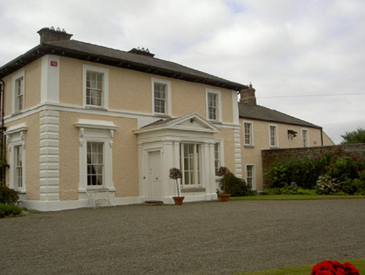 Dowdstown Housecountry house · 1.0 mi
 MoatCastle, motte and bailey · 1.1 mi
 Rabbit BurrowWood · 1.3 mi
 Graveyard in StickillinGraveyard · 2.1 mi
 Graveyard in Richardstown (ardee By., Richardstown Par.)Graveyard · 2.4 mi
 Monterey CypressMonterey Cypress · 2.4 mi
 Drummeenagh HillMountain / peak · 3.9 mi
 Mount OrielMountain / peak · 6.6 mi