What is recorded here
Castle belongs to Belview,srowland. It appears as a castle on the Taylor map of 1783 but as a big house on the older Noble and Keenan map of 1752. The name and place are certain while the visible form has slipped from the land.
On a gentle SW-facing pasture slope near the E bank of the SE-flowing River Barrow. Indicated on the Down Survey (1655-6) as 'Srowland towne and castles' in that townland. What appears to be a 'castle' in ruins is shown on Taylor's Map of County Kildare (1783), although a 'big house' (as opposed to a castle) is shown in the general area on the older (1752) Noble and Keenan map of the county. No visible surface trace of a castle was found. The precise location of this castle has not been identified.
Compiled by: Gearóid Conroy
Revised by: Caimin O'Brien
Date of revised upload: 17 June 2016
The site, indicated on the Down Survey (1655–56) as part of "Srowland towne and castles," was likely associated with a local lordship or defensive structure in early modern Ireland. Its importance lies in its historical representation of regional settlement and fortification patterns in the area during the 17th century.
The monument record does not grant public access. Check the route and ask the landowner before entering private land.
- What survives
- Recorded monument
Places near here
 IndicatedEnclosure · 363 yd
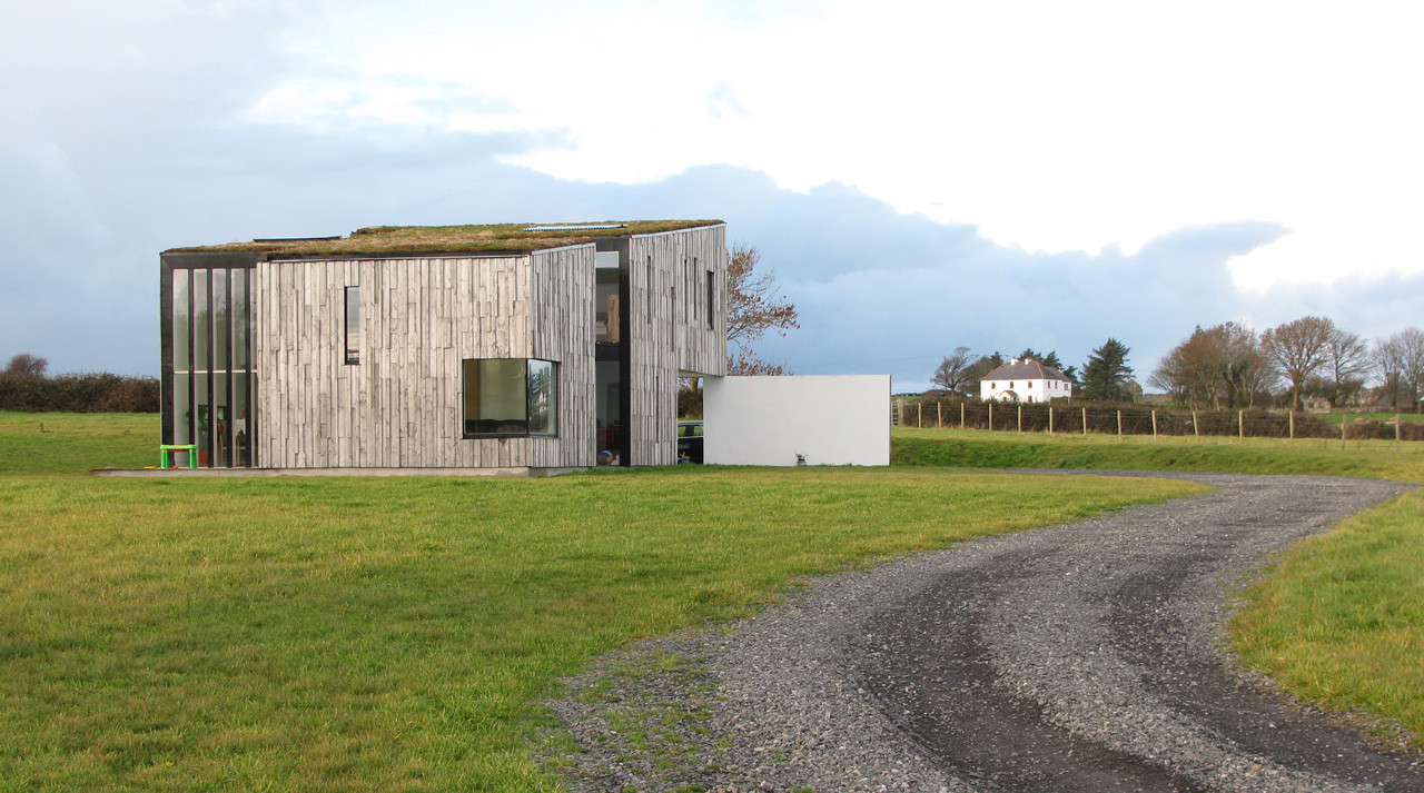 Enclosure in SrowlandEnclosure · 505 yd
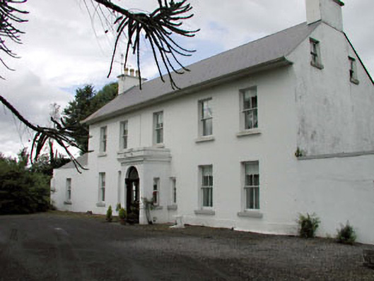 Salisbury Househouse · 663 yd
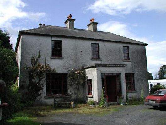 Moatstown Housemiller's house · 1.0 mi
 Bawn in Townparks (athy West Urban Ed)Bawn · 1.2 mi
 Woodstock Castle (in Ruins)Castle, hall-house · 1.2 mi
 1798 memorialMemorial · 1.7 mi
 Ernest ShackletonMemorial · 1.7 mi
 Town HallMuseum · 1.7 mi
 Scots PineScots Pine · 2.4 mi
 Derryvullagh IslandForest · 2.8 mi
 History of Moat of ArdscullVisitor information · 3.6 mi