What is recorded here
Augarann Castle vanished in 1801 when its stones were taken to build the Carrigallen to Mohill road, yet the castle never appeared on the 1656 Down Survey maps and no ruin remains for that road to cross. It is not a hidden castle but a memory that wandered into the wrong town, perhaps born from the common human mistake of believing grandeur must exist somewhere visible.
A castle at Augharan was reputedly demolished in 1801 to provide material for the Carrigallen to Mohill road (Blaney 1944). This castle is not recorded on the Down Survey (1656-8) maps of Cloone parish or Carrigallen barony, although many other similar features would not be recorded. Agharann is not near any route from Carrigallen to Mohill, and if a castle existed here it remains unlocated. For the Down Survey maps see this web-page accessed on 19/04/2017: http://downsurvey.tcd.ie/down-survey-maps.php#bm=Mohill&c=Leitrim
Compiled by: Michael Moore
Date of upload: 19 April, 2017
The monument record does not grant public access. Check the route and ask the landowner before entering private land.
- What survives
- Recorded monument
Places near here
 Fairy fort / earthen ringfort in AgharannFairy fort / earthen ringfort · 55 yd
 Holy well in KillyfeaHoly well · 1729 yd
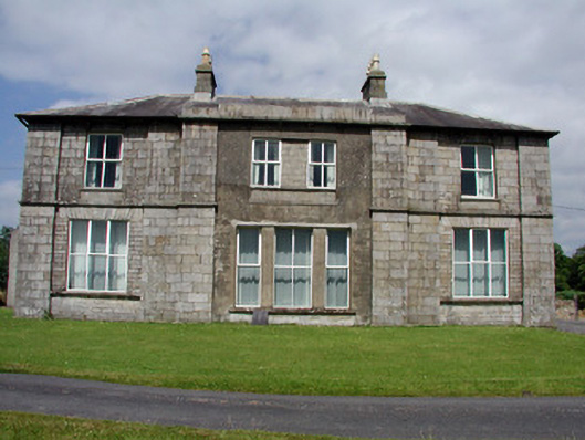 Druminshin Glebe Houserectory/glebe/vicarage/curate's house · 1.5 mi
 Saint Columba's Church (Drumreilly)church/chapel · 1.7 mi
 King's GraveArchaeological place · 2.7 mi
 European YewEuropean Yew · 2.9 mi
 DrummuckerMountain / peak · 3.5 mi
 Pedunculate OakPedunculate Oak · 3.5 mi
 Swan Island pet farmHeritage attraction · 3.7 mi
 DrumbreanlisMountain / peak · 3.7 mi
 Crane IslandIslet · 4.1 mi
 BatteryBawn · 4.1 mi