What is recorded here
Castle is a ruined ringwork in Grange, County Tipperary, where a triangular earthen bank once enclosed a small defensive space on a gentle slope. The interior was quarried and the bank damaged, yet the site still suggests a place where people watched the land, kept a boundary, and shaped the hill to suit their own survival.
Located on a gentle SW-facing slope in pasture. The site has recently been severely damaged, the bank and scrub has been pushed into the interior which had been quarried and this quarry is indicated on the 1st (1840) ed. OS 6-inch map. On the 1st ed. map the site is marked as a triangular enclosure while on the 1953 ed. it is depicted as a roughly semicircular enclosure with a field boundary forming the E side. Inspected in 1981 when it was relatively intact and described as a triangular area (dims. 32m NE-SW; 17m NW-SE) enclosed by an earthen bank (Wth 4m; max. H 1m) with traces of stone walling or facing, one course high, at SW (OPW files, 1981). Comparable to the ringwork at Stook (TN028-007).
The above description is derived from 'The Archaeological Inventory of County Tipperary. Vol. 1 - North Tipperary' compiled by Jean Farrelly and Caimin O'Brien (Dublin: Stationery Office, 2002). In certain instances the entries have been revised and updated in the light of recent research.
Date of upload/revision: 22 September 2008
The monument record does not grant public access. Check the route and ask the landowner before entering private land.
- What survives
- Recorded monument
Places near here
 Enclosure in LisnagroughEnclosure · 581 yd
 LisnagroughFairy fort / earthen ringfort · 628 yd
 Church FieldChurch · 1.3 mi
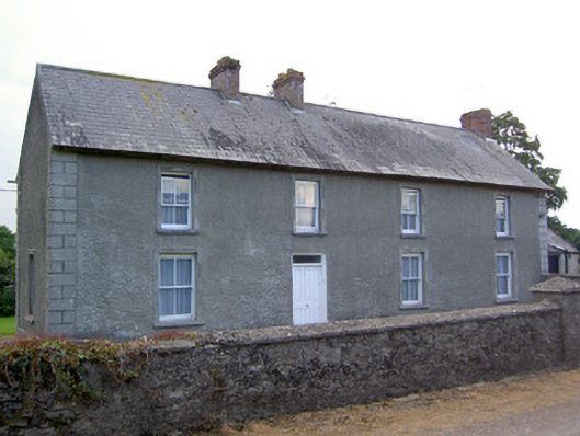 Rathkennan Househouse · 1.3 mi
 RathkennanCastle, motte and bailey · 1.4 mi
 MoatCastle, motte · 1.5 mi
 Cormackstown Heritage CentreMuseum · 1.7 mi
 Clonoulty HillMountain / peak · 3.7 mi
 Killough Hill (site of)Mountain / peak · 3.8 mi
 Drum WoodWood · 3.8 mi
 Wildlife CorridorWood · 4.1 mi
 Lár na PáirceMuseum · 4.3 mi