What is recorded here
Castle Naghtan stands on a buried motte beside the Cross river, its rectangular stone foundations still marking a room divided twice. John Mc Robert O Naughten held the quarter, house and mill in 1641 before conquest redistributed the land, yet local memory preserves dance feet on that same floor in the early twentieth century. The castle has changed owners, been drawn wrongly on maps and almost erased by cairn stones, but the valley keeps returning it to life.
Located in the valley of the N-S Cross river with the stream c. 50m to the W, and on the summit of motte (RO048-13001-). A castle ruin is depicted at Ballycragan on the Strafford map of c. 1636, although placed on the W side of the stream (Simington 1949, Athlone (71)). A quarter at Ballycreggan amounting to 287 acres together with a stone house and a mill were owned by John Mc Robert O Naughten in 1641, but this was divided between the Countess of Fingal and Colonel William Legg by the 1660s. John Mc Robert didn’t hold any other land in Kiltoom parish in 1641 but others with the name Naughten held 1000 acres and shares in other land, but this had been distributed to new owners by the 1660s (ibid. 96-99).
The castle is a rectangular structure (ext. dims 18.5m NE-SW; 11.5m NW-SE) defined by the foundations of stone walls obscured by cairn material, but with two internal divisions. There is local knowledge of dances held on this floor in the early twentieth century, (Egan 2004, 72).
This is a National Monument in state ownership: No. 682
Compiled by: Michael Moore
Date of upload: 24 August 2010
Built on a motte, Castle Naghtan, Ballycreggan was likely constructed in the medieval period, with early references appearing on maps from around 1636. Its location in a strategic river valley suggests it may have been a local defensive or administrative site, though specific builders or holders remain unidentified.
The monument record does not grant public access. Check the route and ask the landowner before entering private land.
- What survives
- Recorded monument
Places near here
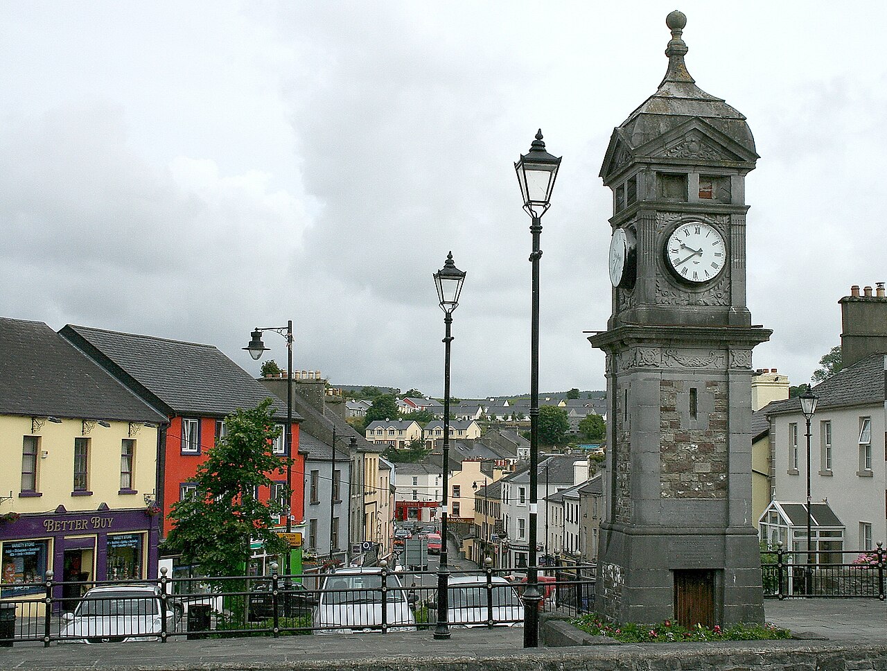 IndicatedCastle, motte and bailey · 4 yd
 Embanked enclosureFairy fort / earthen ringfort · 985 yd
 R. C. ChapelBuilding · 1.2 mi
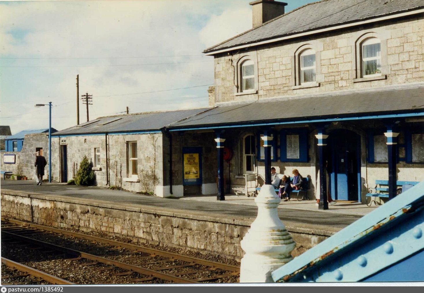 Penitential station in BrideswellPenitential station · 1.2 mi
 Man-made underground passage in CarrowkeenyMan-made underground passage · 1.5 mi
 Curraghboy CastleCastle, unclassified · 2.1 mi
 Bally BayBay · 3.2 mi
 Hodson's BayBay · 3.3 mi
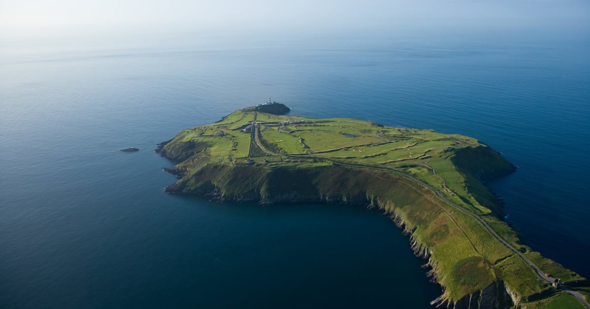 Sedgy IslandIslet · 3.3 mi
 Hodson's PillarIslet · 3.3 mi
 Sheep HillMountain / peak · 4.7 mi
 Siege of Athlonesiege · 4.7 mi