
What is recorded here
Castle, motte in Ballynahowna is a steep, irregular mound beside the Easky River, shaped from a natural slope rather than built like an ordinary castle hill. Its western side exposes limestone, while a thin grassed wall lingers at the upper edge, perhaps part of a defensive line now mostly forgotten. The mound rises sharply on one side and stands in low, waterlogged ground, suggesting whoever used it faced rain, mud and watchfulness as much as battle.
Situated on a NNW-facing slope in poorly-drained, lowlying ground adjacent to the SSW bank of the Easky River. Very high (H c. 2m at SSE; c. 10m at NNW), steep-sided, irregularly-shaped mound (dims. of top 20.4m NNW-SSE; 15.1m ENE-WSW) which was formed by scarping the steep, naturally-occurring slope. Some naturally-occurring limestone formations are visible in the W side of the mound. At the upper edge of the mound at SE is a largely grassed-over, short length of a drystone wall (Wth. 1.1m; max. H 0.1m) which may be portion of a defensive feature. Only ephemeral remains of this are visible at the remainder of the perimeter. At the foot of the mound from SSE-S-WSW and from NE-E-ESE are waterlogged areas whose outer extents are defined by modern stone field boundaries.
Compiled by: Patrick F. O'Donovan
Date of upload: 19 January 2011
The monument record does not grant public access. Check the route and ask the landowner before entering private land.
- What survives
- Recorded monument
Places near here
 Hut site in BallynahownaHut site · 513 yd
 IndicatedFairy fort / earthen ringfort · 806 yd
 Ballynahowna CastleCastle, tower house · 1215 yd
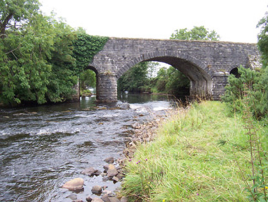 bridgebridge · 1.0 mi
 Dromore West Union WorkhouseRuins · 1.1 mi
 Split RockNamed rock · 1.1 mi
 Jim Smith MemorialMemorial · 2.3 mi
 Cooanmore PointHeadland · 2.4 mi
 Site of Dunneill CastleCastle, unclassified · 2.4 mi
 Wild Atlantic Way: Easky PierVisitor information · 2.5 mi
 Wild Atlantic Way: Inishcrone PierVisitor information · 7.2 mi
 Grave of the Black PigArchaeological place · 7.6 mi
Other information
Photo: Credit not shown · Copyright shown; no reuse licence shown