
What is recorded here
Castlecor holds a flat-topped motte and crescent bailey on an esker ridge, preserving the shape of a defended home rather than a distant myth. Grass, trees and scarps still mark where people stood, watched and lived above the surrounding land. The nearby church and exposed banks suggest a place made for daily life as much as display, where height gave clarity and the ridge carried presence across the county.
Situated on an esker ridge that extends off to the NNW and SE. The motte is a circular, grass-covered and flat-topped mound (diam. of top 13m NW-SE; diam. of base 45m NW-SE; H 7.5m at SE to 8.7m at NW) with mature deciduous trees defined by a fosse that is most visible across the esker (Wth of top c. 15-20m; ext. D 1.5m at SE to 3m at NW) W-N and largely absent elsewhere, with a counterscarp bank (Wth c. 6m; ext. H 1m) SW-NW. There is a crescent-shaped, grass-covered bailey (dims 28m NE-SW; 14m NW-SE) defined by scarps (at SE: Wth 14m; H 3.8m) attached to the SE, with a raised platform at the SW edge. The church (ME008-012----) is c. 120m to the SE.
The above description is derived from the published 'Archaeological Inventory of County Meath' (Dublin: Stationery Office, 1987). In certain instances the entries have been revised and updated in the light of recent research.
Compiled by: Michael Moore
Date of revision: 7 June 2016
Amended: 15 December 2022
Built by a Norman lord during the 12th or 13th century, Castlecor motte and bailey was a strategic defensive and administrative site in the Anglo-Norman expansion into Ulster. It is remembered as one of the few surviving medieval earthworks in the region, illustrating early colonial settlement patterns.
The monument record does not grant public access. Check the route and ask the landowner before entering private land.
- What survives
- Recorded monument
Places near here
 Church (in Ruins)Church · 133 yd
 St. Patricks WellsHoly well · 1145 yd
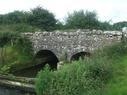 Ballinacree Bridgebridge · 1463 yd
 Cave FortFairy fort / earthen ringfort · 1720 yd
 European BeechEuropean Beech · 1.4 mi
 The MoatCastle, motte and bailey · 1.6 mi
 Fennor LowerMountain / peak · 1.7 mi
 Mount FortuneMountain / peak · 1.8 mi
 Memorial CrossMemorial · 1.9 mi
 Mullaghmeen ForestPicnic place · 3.4 mi
 Ross CastleCastle, tower house · 3.7 mi
 C11Named rock · 3.8 mi
Other information
Photo: Kieran Campbell · CC BY-SA 2.0