What is recorded here
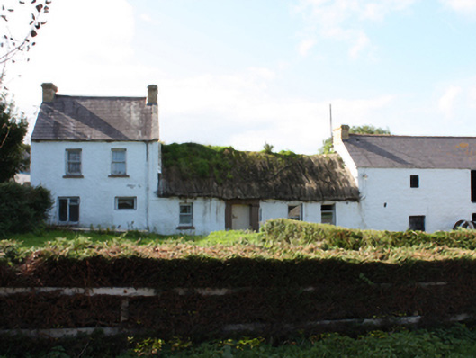
Detached four-bay single-storey vernacular house, built c. 1800, with windbreak porch to front and two-bay two-storey extension to south and three-bay two-storey outbuilding to north. Rounded thatched roof with netting restraint and timber and metal rope stays to eaves. Roughcast rendered walls. Square-headed window openings with one-over-one horned timber sash windows and painted stone sills. Square-headed door opening with replacement timber door. Extensions comprising of pitched slate roofs with terracotta ridge tiles, yellow-brick on stretcher bond chimneystacks with cogging stringcourses and cast-iron rainwater-goods; whitewashed roughcast rendered walls; square-headed window openings with stone sills; one-over-one horned timber sash and timber casement windows. Wrought-iron gate mounted on roughcast rendered piers with pyramidal coping at side of house. Three-bay single-storey thatched house to south-west comprising of overgrown rounded pitched thatch roof with smooth rendered chimneystacks; roughcast rendered random rubble walls; square-headed window openings with one-over-one horned timber sash windows and painted stone sills; square-headed door opening with battened timber door; single-bay single-storey extension to east having pitched natural slate roof. Complex of single-storey outbuildings comprising of pitched corrugated-metal and corrugated-cement roofs, and random rubble walls to west. Detached single-cell outbuilding, comprising overgrown rounded thatched roof and random rubble walls to east.
A property which forms part of an interesting vernacular settlement, which is marked, but not named, on the Ordnance Survey first edition six-inch map of c. 1837. The rounded pitched roof is designed to minimise the impact of high winds, a subtle adaptation of more common thatch design to accommodate local climatic conditions in exposed areas such as the Inishowen peninsula. The slate-roofed extensions appear to be something of a vernacular detail in this area, adding an interesting local dimension to the structure.
This does not grant access. Most recorded buildings are privately owned; view them only from public ground unless the owner allows entry.
Places near here
 Gorey FortFairy fort / earthen ringfort · 625 yd
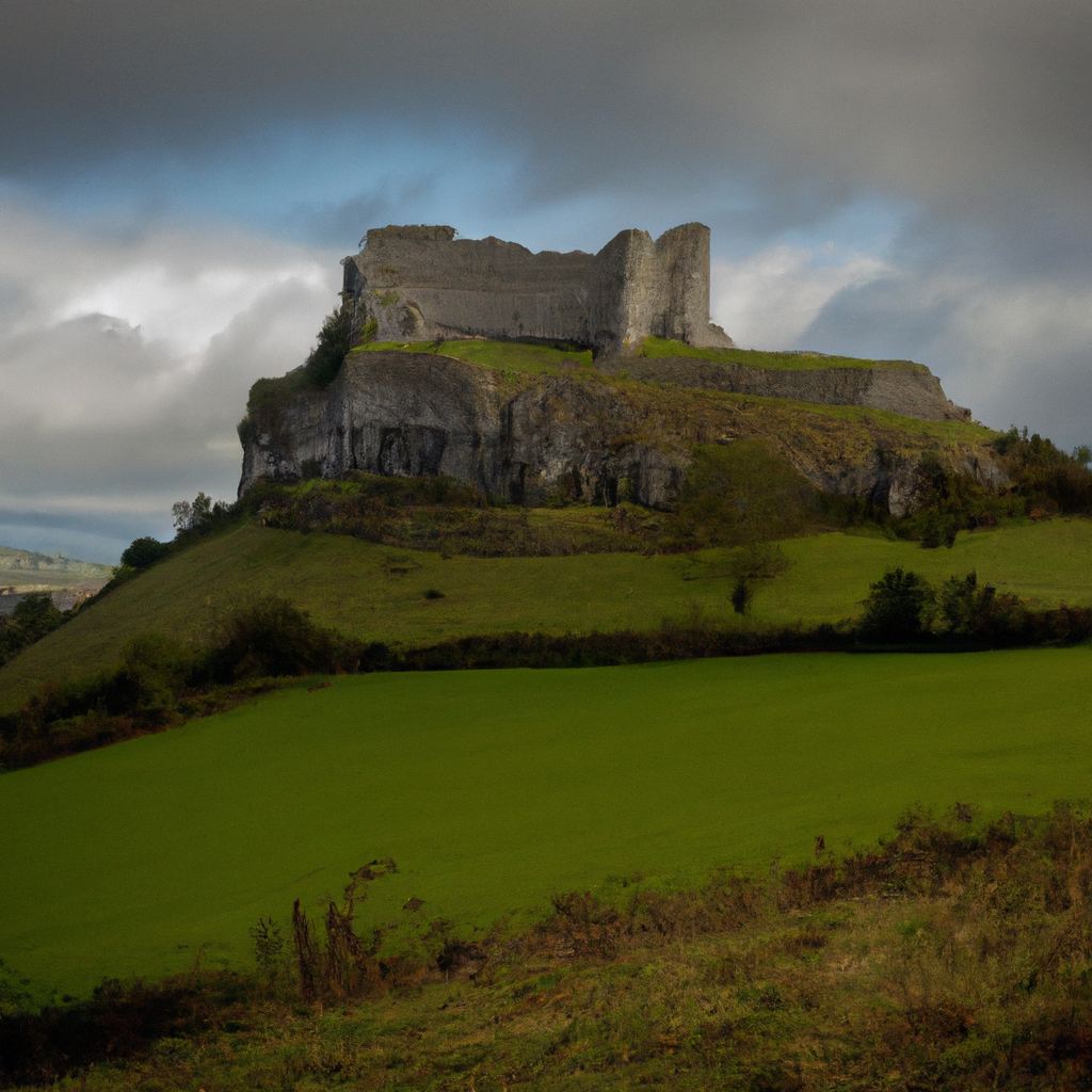 Cashelbane FortHilltop enclosure · 899 yd
 Gleneely Bridgebridge · 1052 yd
 Clonca Old ChurchChurch · 1.1 mi
 CuldaffOfficial bathing water · 3.0 mi
 Carndonagh Early Church GraveyardGraveyard · 3.0 mi
 CastleCastle, unclassified · 3.3 mi
 Tremone BayBeach / strand · 5.2 mi
 CrockavishaneMountain / peak · 5.5 mi
 Lag GraveyardGraveyard · 6.4 mi
 Wee Slieve SnaghtMountain / peak · 6.7 mi
 Castle CaryCastle, unclassified · 7.3 mi
Other information
Photo: National Inventory of Architectural Heritage · Website use allowed for educational or private purposes with source credit