What is recorded here
Fairy fort in Cartron, County Longford: a 33 m earthen ring on a knoll above low pasture, with boulders inside and no clear entrance. It has since been levelled, yet the circle still shadows through the crops.
On a knoll in otherwise low-lying pasture. A report in 1976 (SMR file) recorded a raised circular area (diam. c. 33m) enclosed by a low bank of earth and stone at S and W and elsewhere defined by a naturally occurring scarp. There was no trace of a fosse and the original entrance was not recognisable. Large boulders protruded from the interior. The monument has since been levelled but is visible as a cropmark on an OSI aerial photograph (ibid.).
Compiled by: Patrick F. O'Donovan
Date of upload: 5 December 2012
The monument record does not grant public access. Check the route and ask the landowner before entering private land.
- What survives
- Recorded monument
Places near here
 IndicatedFairy fort / earthen ringfort · 571 yd
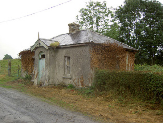 Cartron Housegate lodge · 759 yd
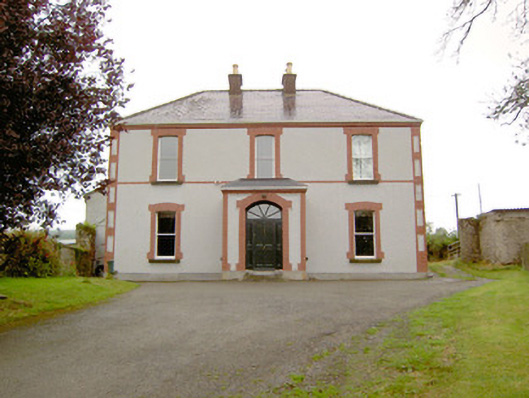 Rathmore Househouse · 852 yd
 Enclosure in Keel (shrule By.)Enclosure · 968 yd
 European BeechEuropean Beech · 1100 yd
 Noughaval CemeteryArchaeological place · 1.2 mi
 Ballymulvey Ho.Castle, unclassified · 1.8 mi
 CastleCastle, motte · 1.9 mi
 Target WoodWood · 2.5 mi
 Newcastle WoodsForest · 2.6 mi
 Guest ServicesVisitor information · 2.8 mi
 Craft WorkshopHeritage attraction · 2.8 mi