What is recorded here
Indicated is a fairy fort or stone ringfort in Cartron (boyle By., Crossna Ed), County Roscommon, Ireland. It sits towards the bottom of a south-facing slope as a circular overgrown area about sixteen metres across. An overgrown stone spread five to six.4 metres wide defines the boundary, rising from 0.2 metres at the south to one metre at the north on the inside. No facing stones or entrance remain visible.
Towards the bottom of a S-facing slope. Circular overgrown area (int. diam. c. 16m) defined by an overgrown stone spread (Wth 5-6.4m; int. H 0.2m at S to 1m at N; ext. H 0.3m at N to 1.4m at S). There are no visible facing stones and there is no visible entrance.
Compiled by: Michael Moore
Date of upload: 24 August 2010
The monument record does not grant public access. Check the route and ask the landowner before entering private land.
- What survives
- Recorded monument
Places near here
 IndicatedFairy fort / stone ringfort · 909 yd
 Tober PatrickHoly well · 1130 yd
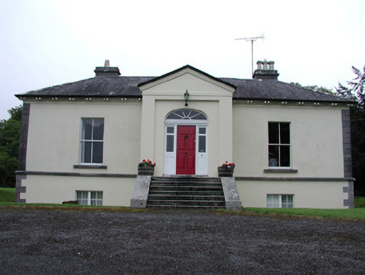 Riversdale Housecountry house · 1538 yd
 Knockvicar BridgeOfficially recorded historic building · 1.1 mi
 Lahan IslandIslet · 1.9 mi
 Errironagh WoodForest · 1.9 mi
 Smutternagh WoodWood · 2.0 mi
 Green IslandIslet · 2.5 mi
 Turlough O'CarolanMemorial · 3.2 mi
 Erris BayBay · 3.7 mi
 Battle of Áth an Chipbattle · 4.4 mi
 Kilronan MountainMountain / peak · 4.7 mi