What is recorded here
Indicated is a fairy fort or earthen ringfort in Carrownageelaun, County Roscommon, Ireland. It occupies a broad plateau where a grass-covered earthen bank forms a D-shaped area thirty metres across. The bank reaches six metres in width and twenty centimetres in height along its south, west and north edges, while the remaining perimeter disappears from view.
Marked as an arc of a bank (diam. c. 35m) S-W-N on the 1837 and 1930 eds of the OS 6-inch map, and situated on a broad plateau. D-shaped grass-covered area (int. diam. 30m N-S) defined by a grass-covered earthen bank (Wth 6m; max. H 0.2m) S-W-N, but the perimeter is not visible elsewhere.
Compiled by: Michael Moore
Date of upload: 24 August 2010
The monument record does not grant public access. Check the route and ask the landowner before entering private land.
- What survives
- Recorded monument
Places near here
 Field system in Cargin DemesneField system · 717 yd
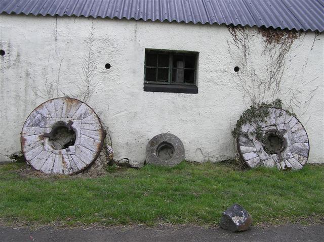 Enclosure in CorballyEnclosure · 815 yd
 CastleCastle, tower house · 997 yd
 AbbeyReligious house, Dominican friars · 1004 yd
 Cruachan Aí Heritage CentreMuseum · 1047 yd
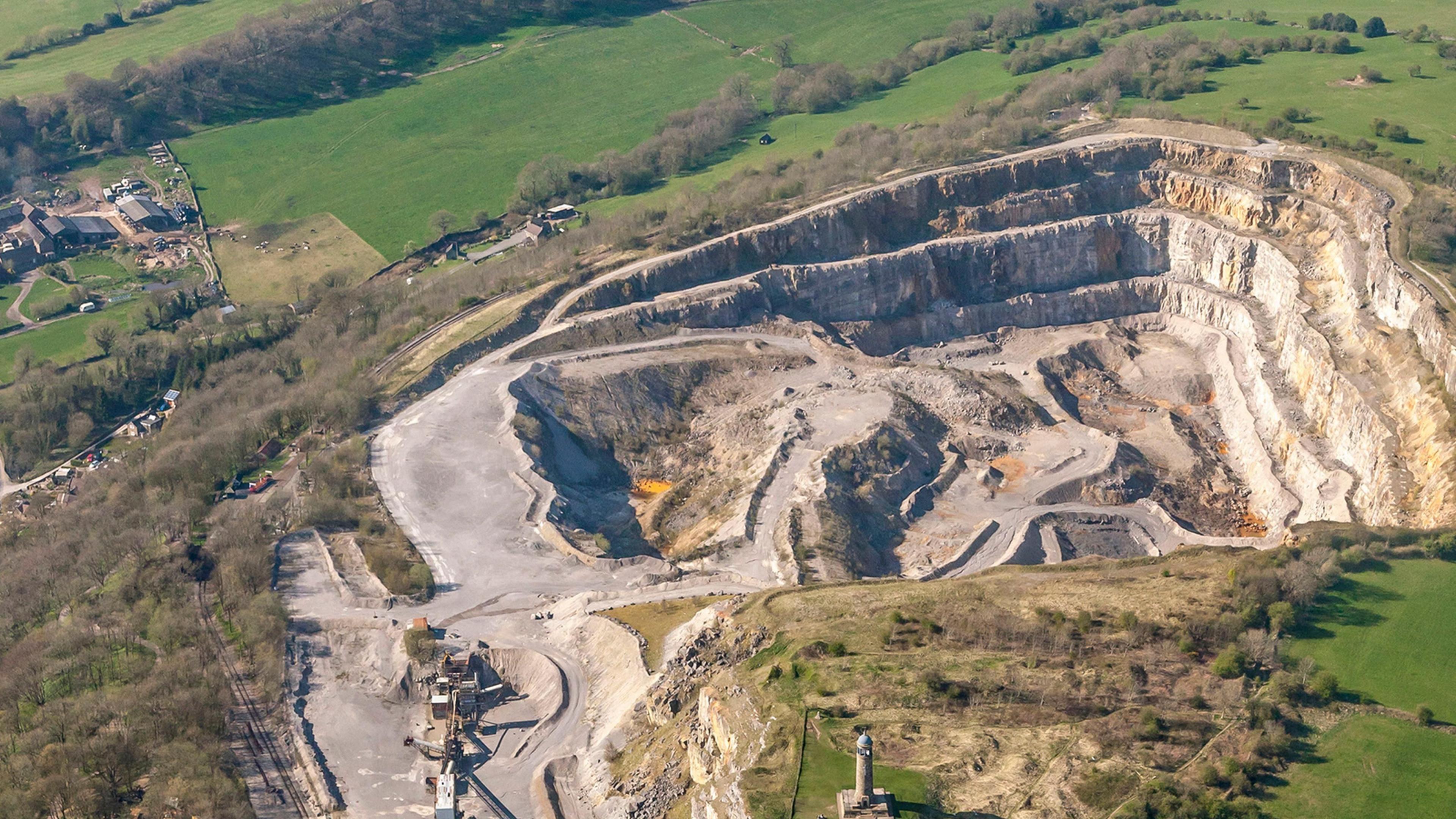 Quarry in Ardkeenagh (roscommon By.)Quarry · 1230 yd
 ToberagullaSpring · 1.3 mi
 European ashEuropean ash · 1.3 mi
 Embanked enclosureCastle, unclassified · 2.5 mi
 War of Independence Commemorative Military MemorialMemorial · 4.8 mi
 Sweet ChestnutSweet Chestnut · 5.9 mi
 Workhouse MemorialMemorial · 9.6 mi