
What is recorded here
In a low-lying landscape. An area of about 4 acres (c. 1.5 ha) around the hillock with Man-made underground passage (RO028-019002-) has field banks or low scarps creating small rectangular fields (dims c. 50m x c. 30m) with a sunken NE-SW roadway (RO028-019003-) (L c. 100m; Wth of base 3.7m) defined by a bank (Wth 5m; H 0.7-0.9m) at SE and a scarp (H 0.7m) at NW at the E edge of the fields. A scarp at the base of the hillock SW-NW creates the impression of a large circular enclosure as represented only on the 1930 ed. of the OS 6-inch map.
Compiled by: Michael Moore
Date of upload: 24 August 2010
The monument record does not grant public access. Check the route and ask the landowner before entering private land.
- What survives
- Recorded monument
Places near here
 IndicatedFairy fort / stone ringfort · 595 yd
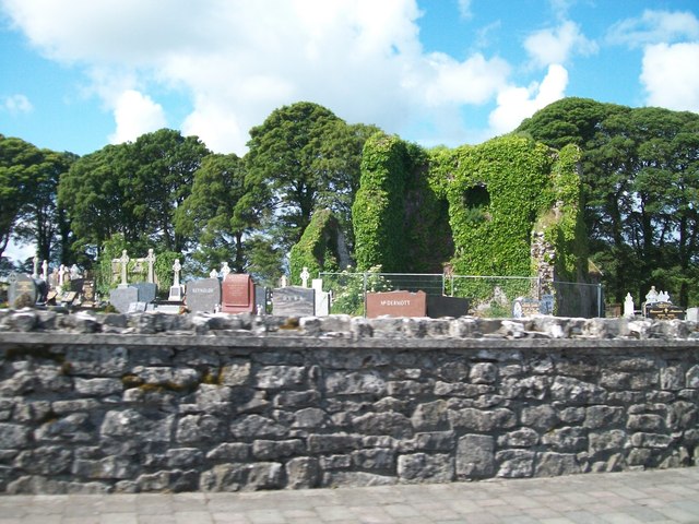 Grave YardGraveyard · 779 yd
 AbbeyReligious house, Dominican friars · 835 yd
 CastleCastle, tower house · 841 yd
 Cruachan Aí Heritage CentreMuseum · 907 yd
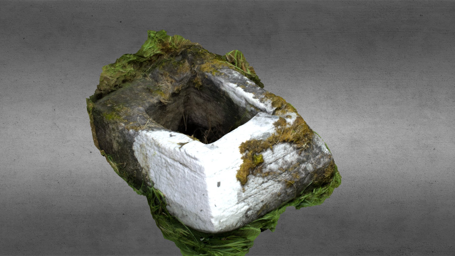 Church in OgullaChurch · 1547 yd
 ToberagullaSpring · 1606 yd
 European ashEuropean ash · 1619 yd
 CastlerubyCastle, unclassified · 2.6 mi
 War of Independence Commemorative Military MemorialMemorial · 4.9 mi
 Sweet ChestnutSweet Chestnut · 6.3 mi
 Workhouse MemorialMemorial · 9.2 mi
Other information
Photo: Credit not shown in the picture search · Rights wording not checked; contact us if this picture should be removed