What is recorded here
Cropmark of small possible ring-ditch (approx. diam. 5m) visible on Google Earth aerial photograph taken 28/06/2018.
See attached Google Earth orthoimages
Compiled by: Caimin O'Brien based on details provided by Seán Sourke
Date of upload: 20 April 2021
The monument record does not grant public access. Check the route and ask the landowner before entering private land.
- What survives
- Recorded monument
Places near here
 IndicatedEnclosure · 668 yd
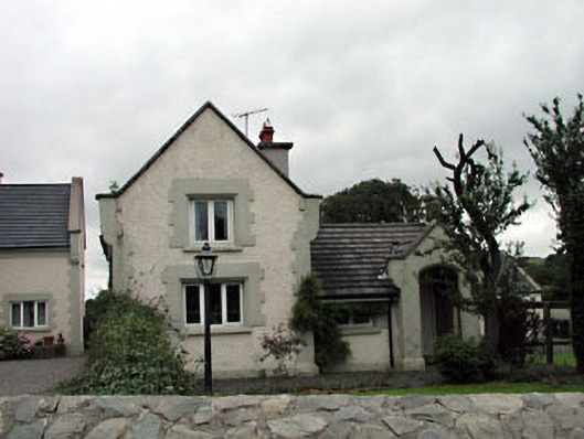 Calverstown Cottagehouse · 846 yd
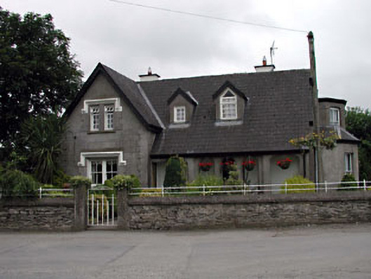 Grove Villahouse · 891 yd
 Enclosure in CalverstownEnclosure · 1360 yd
 Castle in RuinsCastle, tower house · 1.0 mi
 Blackhall CastleCastle, tower house · 1.7 mi
 HawthornHawthorn · 2.4 mi
 Battle of Kilrushbattle · 3.0 mi
 Narraghmore Nature ReserveForest · 3.0 mi
 Japanese GardensHeritage attraction · 5.6 mi
 Irish National Stud and Japanese GardensHeritage attraction · 5.6 mi
 Gorden Bennet Race memorialMemorial · 6.4 mi