What is recorded here
An enclosure is marked on the Grand Jury map of Co. Waterford dated 1819 at Carrigcastle (NLI: 16 J 4). It is placed close to the centre of the townland close to the village of Ballylaneen, but it is unlocated. Another enclosure (WA024-076----) on the same map is placed further S.
Compiled by: Michael Moore
Date of upload: 29th September, 2011
The monument record does not grant public access. Check the route and ask the landowner before entering private land.
- What survives
- Recorded monument
Places near here
 Mandevilles RockCastle, unclassified · 186 yd
 Man-made underground passage in CarrigcastleMan-made underground passage · 276 yd
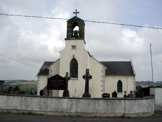 Saint Anne's Catholic Churchchurch/chapel · 661 yd
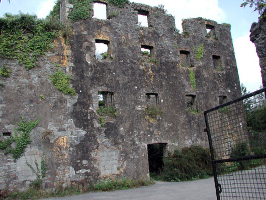 Carrigcastle Millmill (water) · 822 yd
 Font (present location) in BallylaneenFont (present location) · 889 yd
 Copper CoastCoastal geological landscape · 2.2 mi
 Bunmahon Miners' CottagesVisitor information · 2.2 mi
 Miners BucketVisitor information · 2.3 mi
 Bunmahon StrandBeach / strand · 2.4 mi
 Tra na mBoBeach / strand · 2.5 mi
 Ballydowane CoveBeach / strand · 2.6 mi
 St. Bernard's WellSpring · 2.8 mi