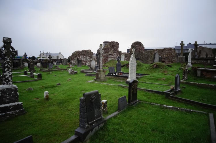
What is recorded here
Grave Yard marked a buried district on County Limerick before human life and memory shifted elsewhere. That is all the saved facts present, so the rest must remain absent rather than invented.
Annotated 'Grave Yard' on 1840 ed. OS 6-inch map and depicted as a small quarried out pit on subsequent ed. OS 6-inch maps. No surface remains visible of burial ground today on Digital Globe aerial photographs.
Compiled by: Caimin O'Brien
Date of upload: 26 July 2019
The monument record does not grant public access. Check the route and ask the landowner before entering private land.
- What survives
- Recorded monument
Places near here
 Derraun Bridgebridge · 533 yd
 BarrowBarrow, ring-barrow · 964 yd
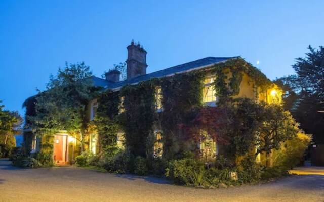 Enclosure in Carrig BegEnclosure · 1269 yd
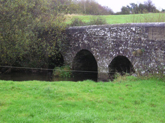 Longford Bridgebridge · 1472 yd
 Coonagh CastleCastle · 1.1 mi
 Longford Castle (in ruins)Castle, unclassified · 1.3 mi
 Oola HillMountain / peak · 2.7 mi
 ToberagaddySpring · 3.2 mi
 KnockseefinMountain / peak · 4.7 mi
 St. Patrick's WellSpring · 6.8 mi
 Flat cemetery in Knockainy WestFlat cemetery · 11 mi
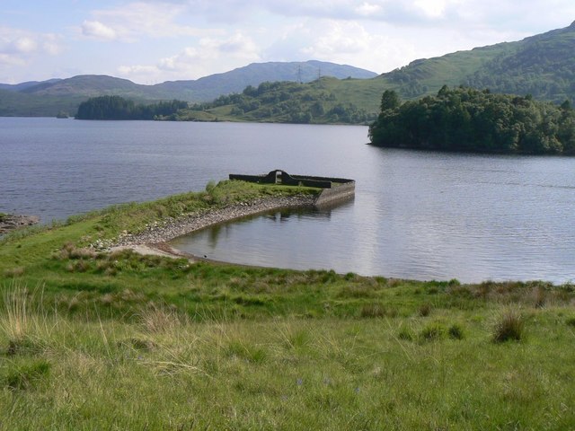 Killarragon Burial GroundChildren's burial ground · 1340 yd
Other information
Photo: Credit not shown in the picture search · Rights wording not checked; contact us if this picture should be removed