What is recorded here
No visible trace remains, but in 1758 Wright found a circular burial place now lost to time. The earth has taken back what stones once marked.
The following description is derived from both the published 'Archaeological Inventory of County Louth' (Dublin: Stationery Office, 1986) and the 'Archaeological Survey of County Louth' (Dublin: Stationery Office, 1991). In certain instances the entries have been revised and updated in the light of recent research.
Date of upload/revision: 17 July 2007
Wright's 'Site G' is recorded as a circular feature which he concluded to be a burial place (1758, 8-9, Pl. 2). No visible trace.
This remains an important historical record, but the official description says the monument is no longer visible or has been destroyed. The monument record does not grant public access. Check the route and ask the landowner before entering private land.
- What survives
- No visible remains or recorded as destroyed
Places near here
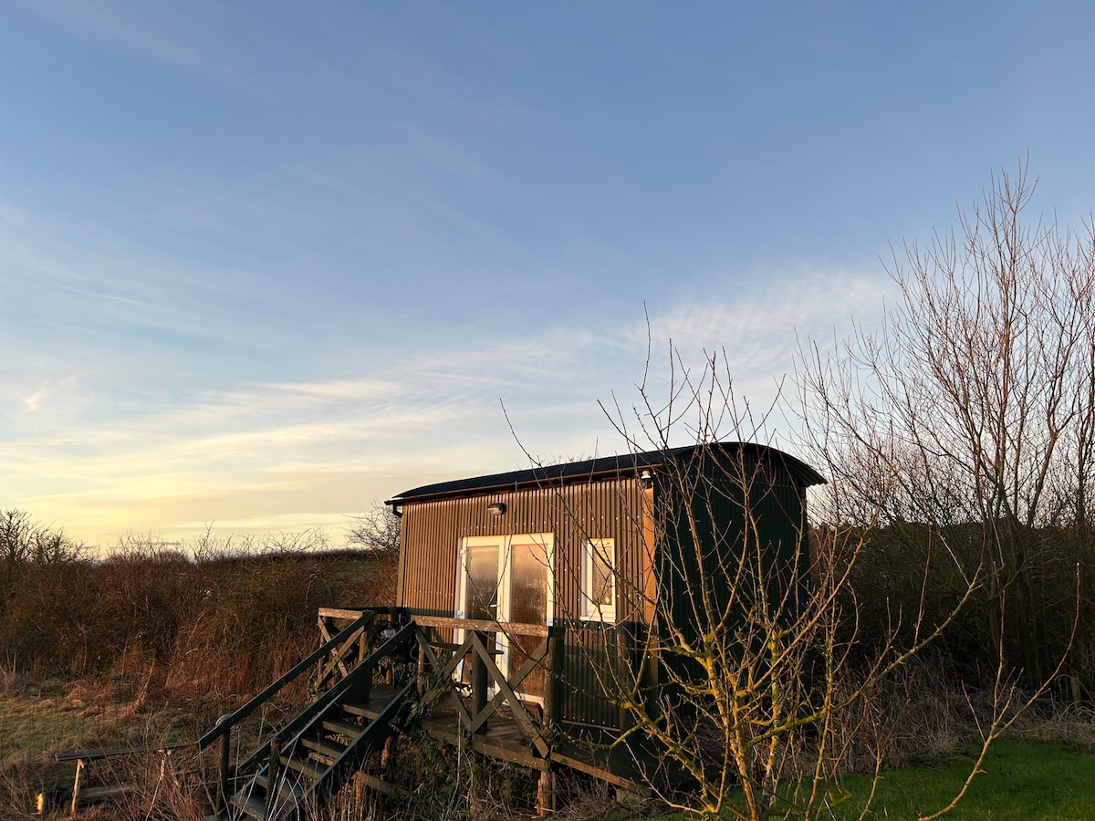 Hut site in CarrickedmondHut site · 156 yd
 TumulusCastle, motte and bailey · 780 yd
 Megalithic StructureWedge tomb · 1059 yd
 Saint Brigid's Catholic Churchchurch/chapel · 1355 yd
 Raskeagh FortCastle, motte and bailey · 1439 yd
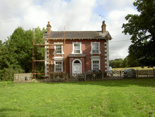 Millbrook Housemiller's house · 1.0 mi
 MonascreebeMountain / peak · 1.2 mi
 TievecromMountain / peak · 1.7 mi
 Forkhill Greenspace PathwayWalking route · 2.1 mi
 Battle of FaughartMajor battlefield · 2.1 mi
 Ring of Gullion Way - ForkhillVisitor information · 2.1 mi
 Ring of Gullion Way - Section 3Walking route · 2.3 mi