What is recorded here
Depicted on the current edition of the Ordnance Survey 6-inch map in gothic script as 'Carrickatinyan'.
Compiled by: Caimin O'Brien
Date of upload/revision: : 19 July 2010
The monument record does not grant public access. Check the route and ask the landowner before entering private land.
- What survives
- Recorded monument
Places near here
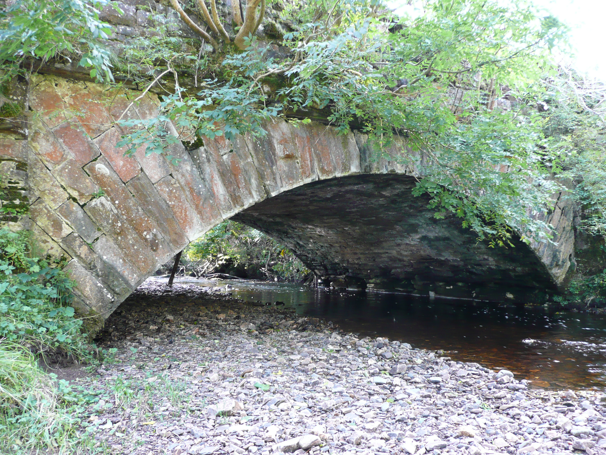 Droichead na hAbhna Bige [Owenbeg Bridge]bridge · 797 yd
 Owenwee Bridgebridge · 880 yd
 St. Columbkilles WellHoly well · 2.5 mi
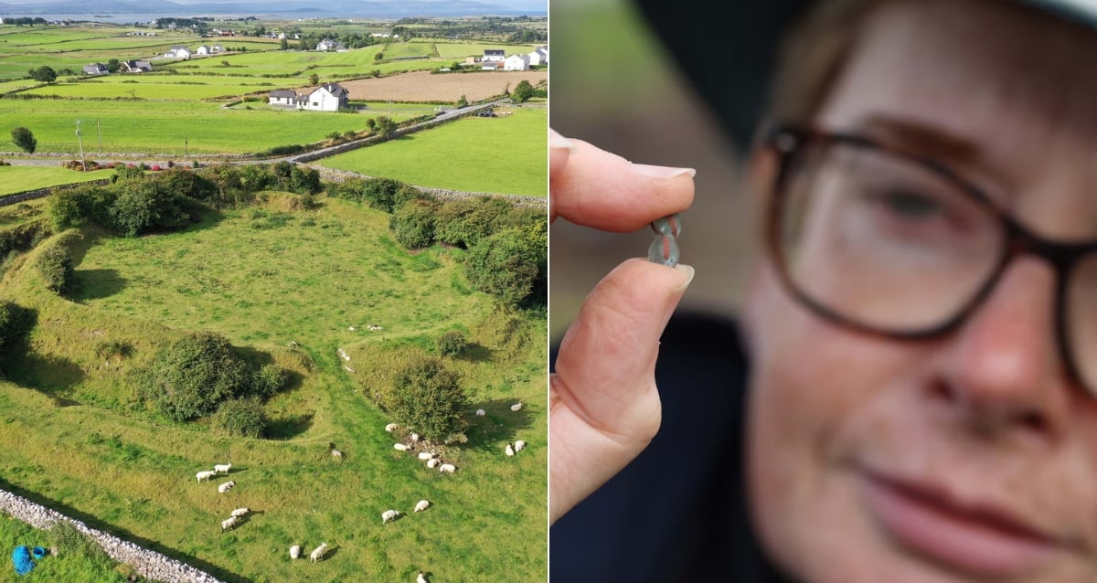 Derrora Stone RingfortFairy fort / stone ringfort · 2.6 mi
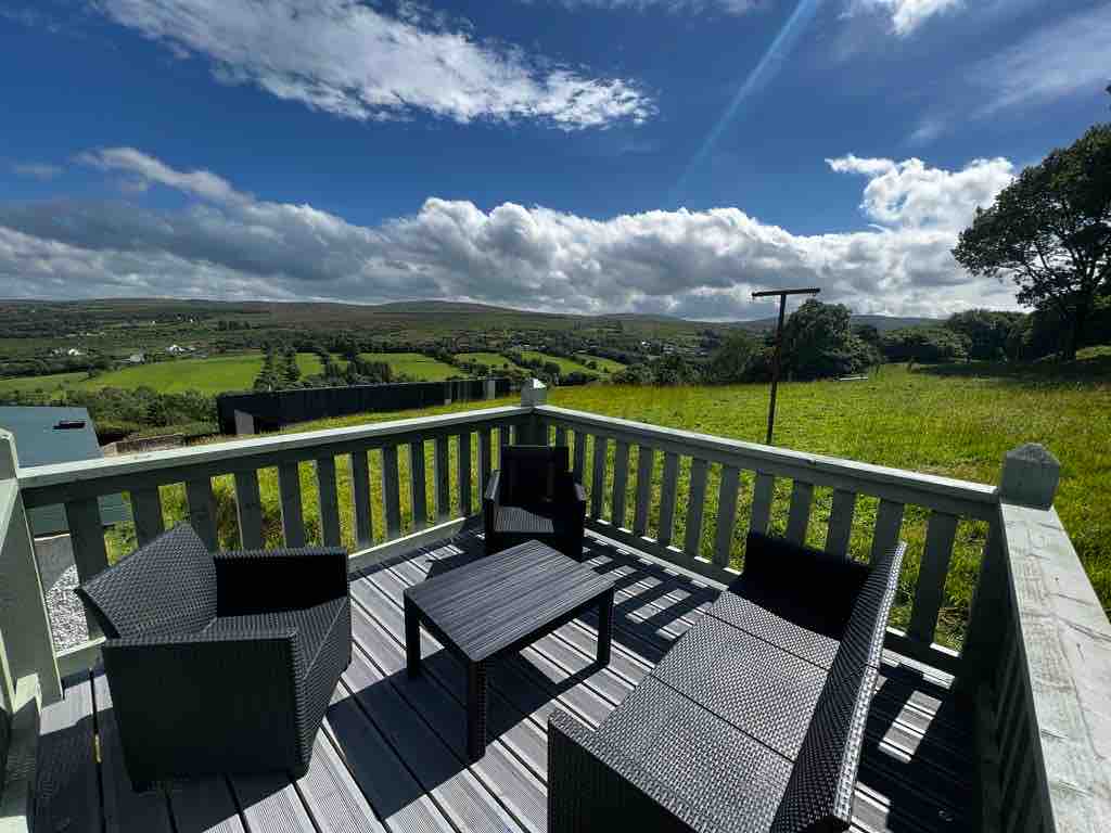 Church Hill ForestForest recreation place · 2.7 mi
 European BeechEuropean Beech · 3.9 mi
 Glebe House and GalleryHeritage attraction · 3.9 mi
 MoylenanavMountain / peak · 3.9 mi
 Astelleen Burn WaterfallWaterfall · 4.1 mi
 Stackarnagh Abbey GraveyardGraveyard · 4.4 mi
 Staghall MountainMountain / peak · 4.5 mi
 Maumlack Corrie HeadwallCliff · 5.4 mi