What is recorded here
Fairy fort / earthen ringfort in Carrickaneha is a fairy fort or earthen ringfort in Carrickaneha, County Westmeath, Ireland. The 1971 description recorded a large subcircular area measuring approximately 40 metres east-west and 36 metres north-south, enclosed by a steep earth and stone bank that had almost been reduced to a scarp in places. Traces of an external fosse were noted, with the feature best preserved on the eastern side, while the original entrance remained invisible at the time of that observation.
Situated on the SW-facing slope of a hill, in pasture with good views to E and W. Ringfort (WM023-060----) lies c. 155m to SW. Monument described in 1971 as a large subcircular-shaped area (approx. 40m E-W; 36m N-S) enclosed by an earth and stone bank with external fosse. The bank is steep and has almost been reduced to a scarp in places. There are traces of a fosse, which is best preserved at E. A modern fence extends just outside the bank from S-SW-W and other fences intersect the bank at NNE and ESE. A slight modern bank has been made along the upper edge of the scarp from SE-S and has a modern trench inside it. The original entrance is not visible. The interior rises slightly from the perimeter towards the centre and has slight traces of cultivation ridges running E-W.
Compiled by Alison McQueen, Vera Rahilly and Caimin O’Brien.
Date of upload: 29 July 2019
The monument record does not grant public access. Check the route and ask the landowner before entering private land.
- What survives
- Recorded monument
Places near here
 Killininneen Househouse · 632 yd
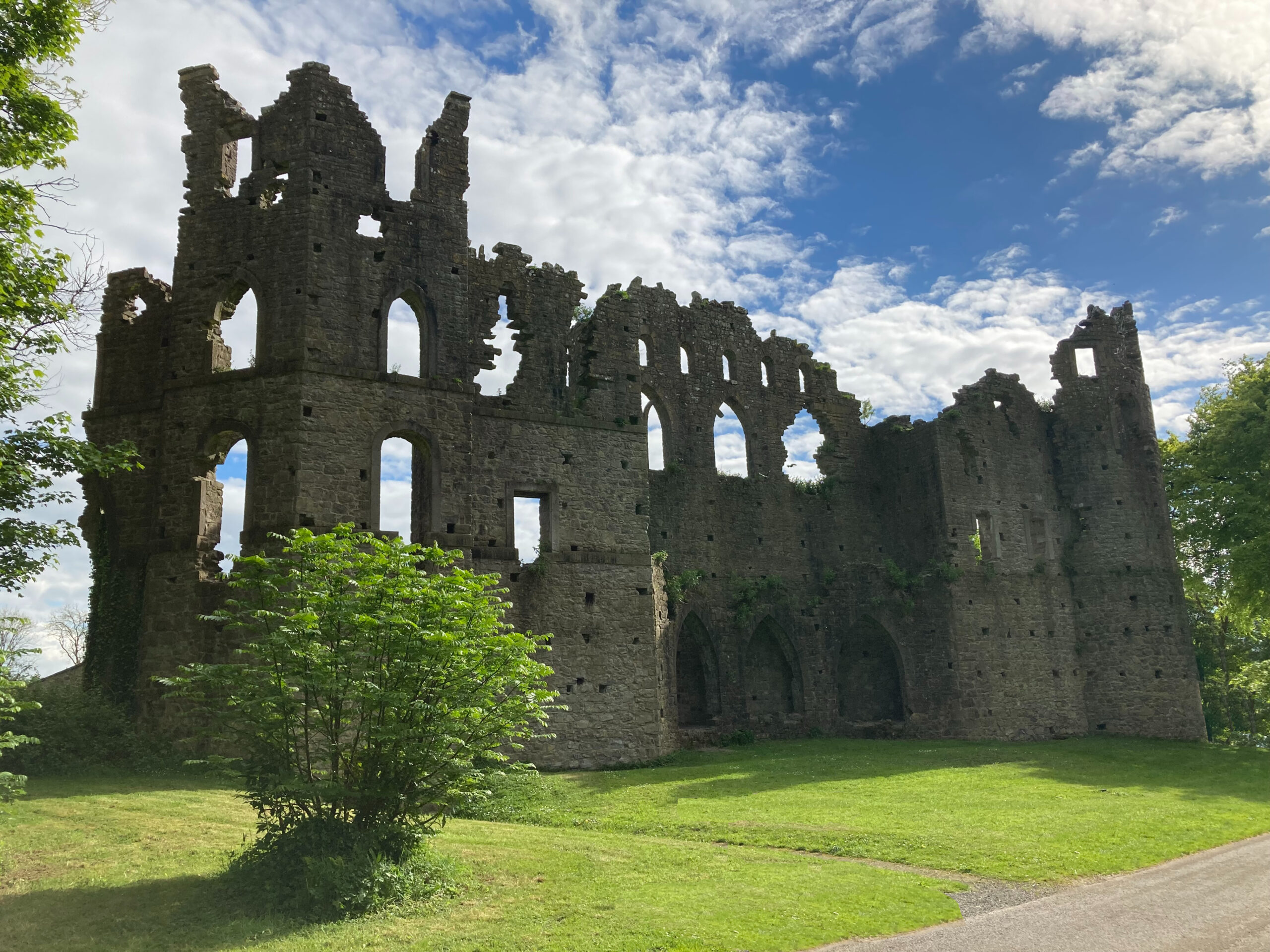 Sterns Folly, The BreenCastle, ringwork · 1289 yd
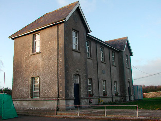 Drumraney National Schoolschool · 1386 yd
 Site of Lissanode CastleCastle, unclassified · 1.0 mi
 OutlinedEnclosure · 1.1 mi
 Man-made underground passage in ArdborraMan-made underground passage · 1.1 mi
 Noughaval CemeteryArchaeological place · 4.1 mi
 Dún na Sí Heritage CentreMuseum · 4.5 mi
 Dún na SíMuseum · 4.5 mi
 Charles BianconiMemorial · 5.1 mi
 Japanese pagoda treeJapanese pagoda tree · 5.1 mi