
What is recorded here
Situated in pasture. Not depicted on the 1837 OS 6-inch map or the revised 1913 ed. OS 25-inch map. Monument described in 1977 as a possible Man-made underground passage marked with an ‘X’ on the OS working map and not previously recorded (SMR file). The entrance is now partially blocked and it is largely inaccessible. No surface remains visible today on Digital Globe aerial photographs.
Compiled by Alison McQueen, Vera Rahilly and Caimin O’Brien.
Date of upload: 29 July 2019
The monument record does not grant public access. Check the route and ask the landowner before entering private land.
- What survives
- Recorded monument
Places near here
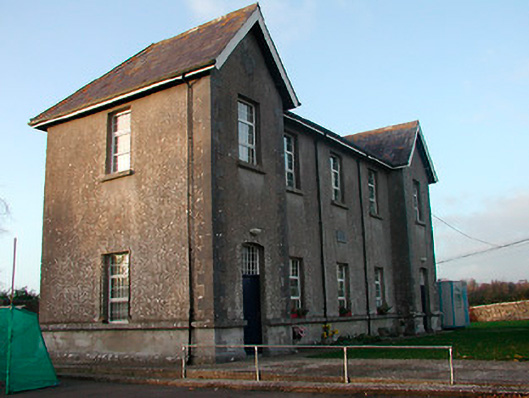 Drumraney National Schoolschool · 952 yd
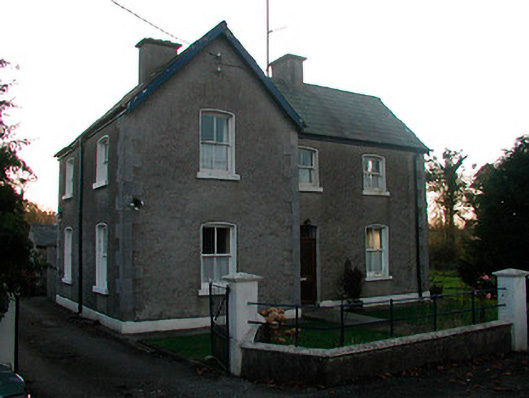 school master's houseschool master's house · 976 yd
 OutlinedEnclosure · 1143 yd
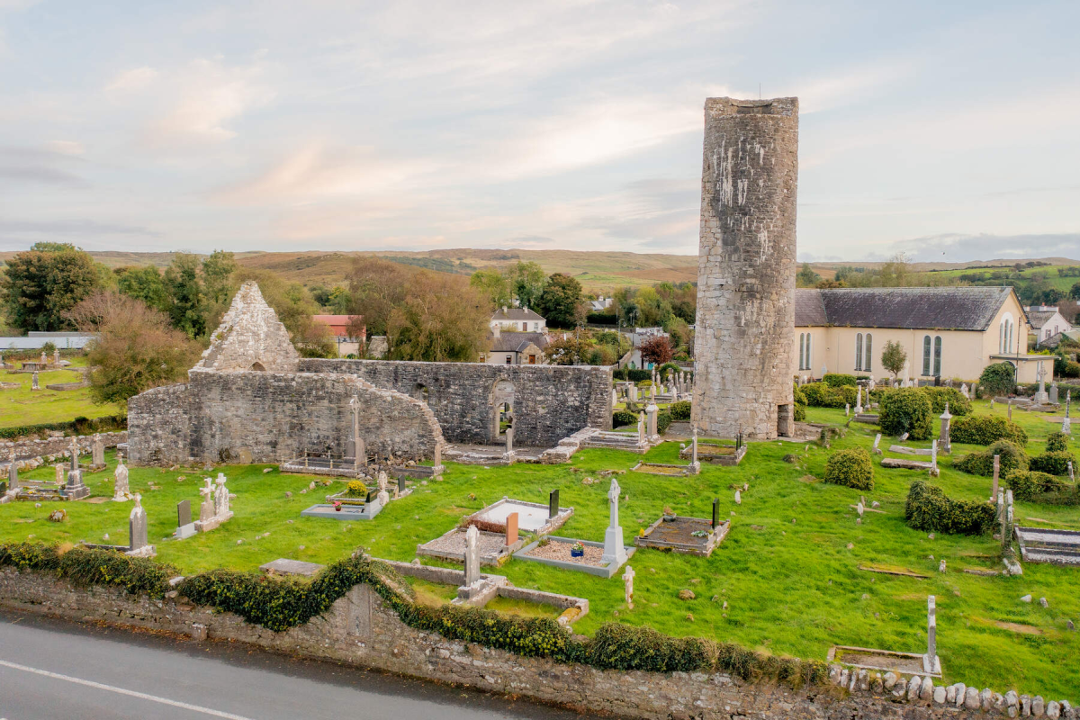 Tober EnainHoly well · 1477 yd
 IndicatedCastle, unclassified · 1546 yd
 Site of Lissanode CastleCastle, unclassified · 1.2 mi
 Noughaval CemeteryArchaeological place · 3.8 mi
 Japanese pagoda treeJapanese pagoda tree · 4.5 mi
 KnockastiaMountain / peak · 4.9 mi
 European BeechEuropean Beech · 5.2 mi
 Athlone Music MuseumMuseum · 9.0 mi
 1916 Centenery CommemorationMemorial · 9.0 mi
Other information
Photo: Credit not shown in the picture search · Rights wording not checked; contact us if this picture should be removed