What is recorded here
In the S quadrant of ringfort (WM026-081----), just inside the entrance at SW is an irregular-shaped house site. It is defined by a prominent L-shaped earthen bank, whereby the shorter portion adjoins the inside of the ringfort bank and the open end is adjacent to the ringfort entrance. Adjoining the opposite end of the L-shape is a slight curvilinear-shaped earthen bank which also faces open toward the ringfort entrance.
See attached sketch plan of monument drawn by the ASI.
Compiled by Alison McQueen, Vera Rahilly and Caimin O’Brien.
Date of upload: 04 November 2019
The monument record does not grant public access. Check the route and ask the landowner before entering private land.
- What survives
- Recorded monument
Places near here
 Enclosure in Carrick (fartullagh By.)Enclosure · 444 yd
 Church (in Ruins)Church · 723 yd
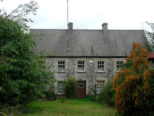 Rochfort Millmiller's house · 845 yd
 Hachured, RahaclowineFairy fort / earthen ringfort · 898 yd
 Mollie Moo's Pet FarmHeritage attraction · 1686 yd
 Castle in RuinsCastle, tower house · 1.3 mi
 CastleCastle, tower house · 1.3 mi
 Belvedere house and gardensVisitor information · 1.3 mi
 Blind IslandIslet · 1.5 mi
 Dysart IslandIsland · 2.3 mi
 Derrygreenagh HillMountain / peak · 6.3 mi
 Ardan WoodWood · 7.5 mi