
What is recorded here
Situated in gently undulating pasture. Depicted on the revised 1913 ed. OS 25-inch map as a rectangular-shaped tower annotated ‘Church (in Ruins)’ standing in N quadrant of graveyard (WM026-083001-). Carrick Church ruins described in 1976 as the remains of a rectangular-shaped structure (L 8m; Wth 7m) defined by upstanding walls (T 0.85m) at S, W and N, only the wall footings of the E wall of the church survives. Possible ivy-covered residential tower or bell-tower at W end of single cell rectangular-shaped church. The walls have an internal and external buttress at the W end. A doorway with a crude pointed arch is visible in the S wall at the W end. There are no openings visible in the W gable. The N wall contains a small lintelled window and the S wall has a similar but cruder ope with an intact embrasure. There is a narrow internal division at the NW corner which may be an original feature, perhaps a vault. The burials are mounded up to a considerable height around the remains of the church. There are no early slabs within the interior.
Compiled by Alison McQueen, Vera Rahilly and Caimin O’Brien.
Date of upload: 04 November 2019
The monument record does not grant public access. Check the route and ask the landowner before entering private land.
- What survives
- Recorded monument
Places near here
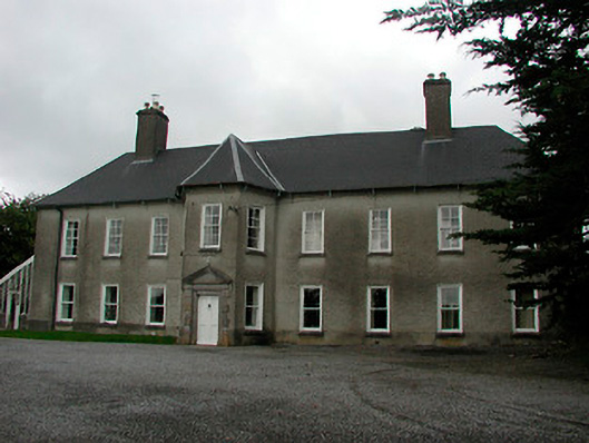 Carrick Housecountry house · 159 yd
 Corn Mill & Tuck MillWater mill, unclassified · 561 yd
 Enclosure in Carrick (fartullagh By.)Enclosure · 1115 yd
 Hachured, RahaclowineFairy fort / earthen ringfort · 1423 yd
 CastleCastle, unclassified · 1750 yd
 Robinstown CastleCastle · 1.0 mi
 Mollie Moo's Pet FarmHeritage attraction · 1.2 mi
 Blind IslandIslet · 1.6 mi
 Belvedere house and gardensVisitor information · 1.6 mi
 Dysart IslandIsland · 2.2 mi
 Derrygreenagh HillMountain / peak · 6.2 mi
 Ardan WoodWood · 7.1 mi
Other information
Photo: Credit not shown in the picture search · Rights wording not checked; contact us if this picture should be removed