
What is recorded here
Inchacrone was a real island in Lough Ennell when O’Donovan walked it in 1837, marked by trees and the scattered ruins of a house or castle. The Brosna drainage scheme later lowered the water, pulled the island onto the mainland and erased the castle from human sight. Carrick keeps the name, but the lake took back the shape.
Situated on a small promontory, on the eastern shores of Lough Ennell. Depicted on the 1837 ed. OS 6-inch map as a small rectangular-shaped building on Inchacrone, which at that time was a small, oblong island c. 180m to W of the shoreline. According to O’Donovan (1837, OSNB 6, 11), ‘this island lies opposite the townland of Carrick to which it belongs. It is planted with trees and the ruins of a house or castle are scattered about on its surface’. Monument described in 1981 as no surface remains visible. This area was once an island in Lough Ennell prior to the River Brosna drainage scheme after which the water level dropped and the area became a promontory on the mainland. This area is now occupied by dwellings, has been landscaped, planted with trees, and a public road constructed. There is no trace of any earlier buildings or ruinous foundations. Area is visible on Digital Globe aerial photography as a small promontory primarily covered in woodland and occupied by three buildings and a road.
Compiled by Alison McQueen, Vera Rahilly and Caimin O’Brien.
Date of upload: 02 October 2019
This remains an important historical record, but the official description says the monument is no longer visible or has been destroyed. The monument record does not grant public access. Check the route and ask the landowner before entering private land.
- What survives
- No visible remains or recorded as destroyed
Places near here
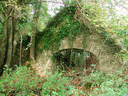 Carrick Houseboathouse · 670 yd
 Mollie Moo's Pet FarmHeritage attraction · 762 yd
 Hachured, RahaclowineFairy fort / earthen ringfort · 984 yd
 Blind IslandIslet · 1043 yd
 Tudenham Park HouseRuins · 1068 yd
 Belvedere house and gardensVisitor information · 1515 yd
 Enclosure in Carrick (fartullagh By.)Enclosure · 1.1 mi
 Robinstown CastleCastle · 1.2 mi
 Dysart IslandIsland · 1.5 mi
 Castle in RuinsCastle, tower house · 1.9 mi
 Ancient Ring FortWood · 5.0 mi
 WestmeathVisitor information · 6.1 mi
Other information
Photo: Credit not shown in the picture search · Rights wording not checked; contact us if this picture should be removed